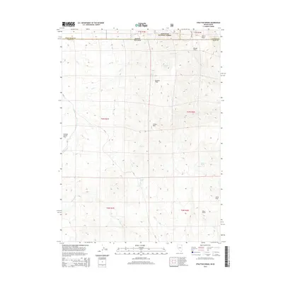
2014 Map of Stratton Spring
USGS Topo · Published 2014About this map
Sawtooth National Forest dominates the northern high ground of this landscape, where the Idaho-Nevada border meets at the junction of Twin Falls, Elko, and Cassia Counties. The terrain is defined by a series of prominent ridges and drainage systems, most notably Deadline Ridge and the distinct formation of Eclipse Rock. Water sources are critical landmarks in this arid environment, with numerous named points such as Stratton Spring, Mud Spring, and Summit Spring providing vital geographic anchors across the high desert.
Find a feature on this map
30 named features on this map. Tap any name to fly to it.
Don’t see what you’re looking for? This feature index may not catch every label — zoom into the map to look around manually.
Map Details
Editions of this 2014 Stratton Spring Map
This is the sole edition of this map. No revisions or reprints were ever made.
Other maps of this area

1955 · Twin Falls
USGS Topo · 1:250,000

1955 · Wells
USGS Topo · 1:250,000

1958 · Wells
USGS Topo · 1:250,000

1958 · Twin Falls
USGS Topo · 1:250,000

1961 · Wells
USGS Topo · 1:250,000

1961 · Gollaher Mountain
USGS Topo · 1:62,500

1961 · Goose Creek
USGS Topo · 1:62,500

1977 · Timber Butte
USGS Topo · 1:24,000

1977 · Big Creek Ranch
USGS Topo · 1:24,000

1977 · Mahogany Butte
USGS Topo · 1:24,000