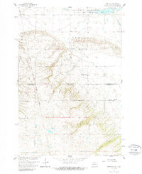
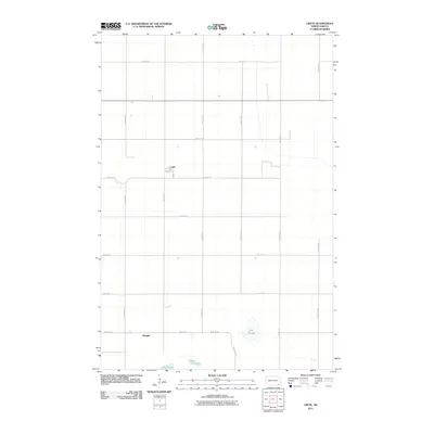
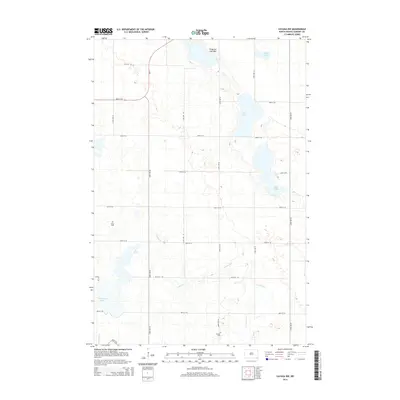
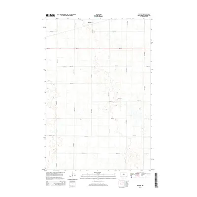
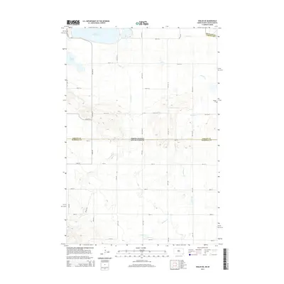
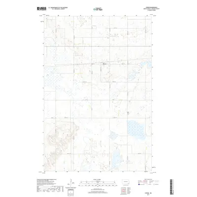
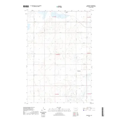
1956 Map of Straubville
USGS Topo · Published 1957About this map
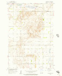
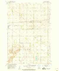
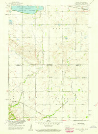
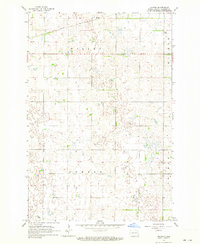
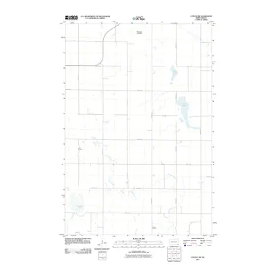
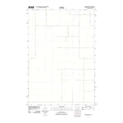
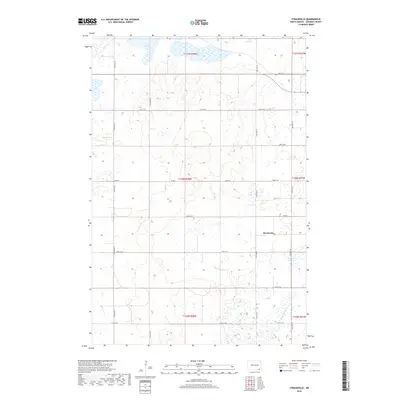
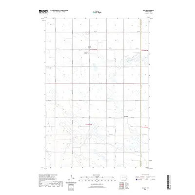
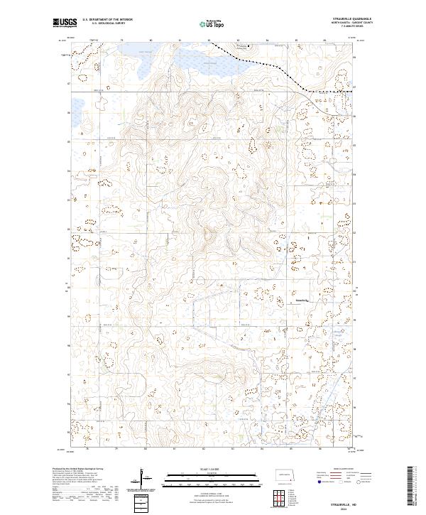
Straubville serves as the primary rail settlement in this mid-century survey of Sargent County, situated along the Great Northern railroad line. The landscape is defined by the complex glacial topography of the Prairie Pothole Region, where numerous depressions and low-lying areas create significant water bodies like Lake Taayer, Pickell Slough, and Meszaros Slough. These features, alongside the high point at Pickell, dictated the placement of agricultural boundaries and transport corridors through townships like Verner, Harlem, and Jackson.
Find a feature on this map
17 named features on this map. Tap any name to fly to it.
Don’t see what you’re looking for? This feature index may not catch every label — zoom into the map to look around manually.
Map Details
Editions of this 1956 Straubville Map
This is the sole edition of this map. No revisions or reprints were ever made.
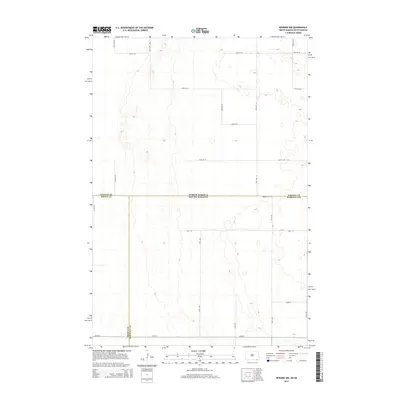
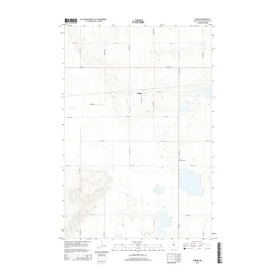
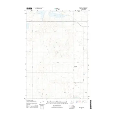
Historical Maps of Brampton Township Through Time
56 maps found
1952 Crete
Sargent County, ND
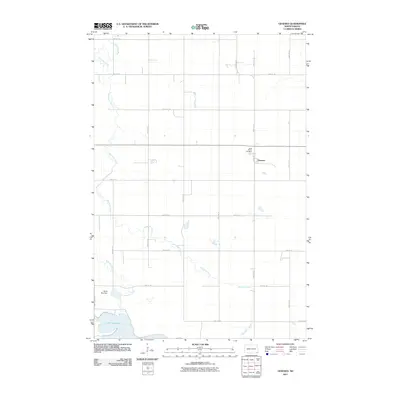
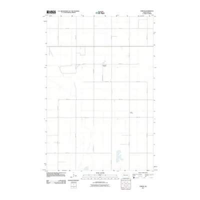
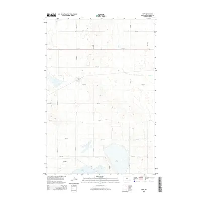
1953 Newark
Sargent County, ND
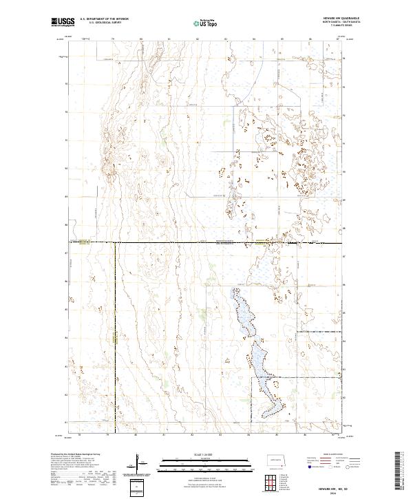
1956 Newark NW
Sargent County, ND
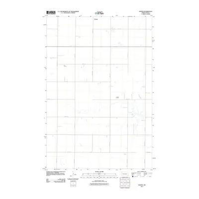
1956 Straubville
Sargent County, ND
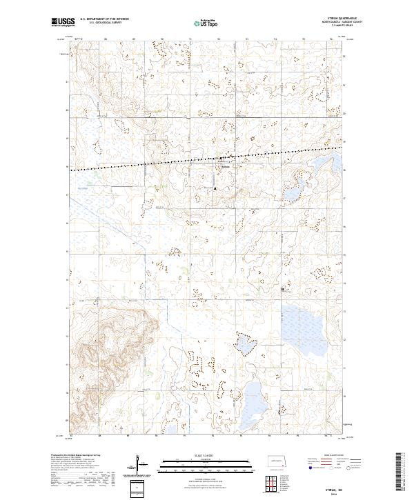
1957 Stirum
Sargent County, ND
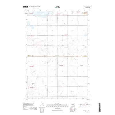
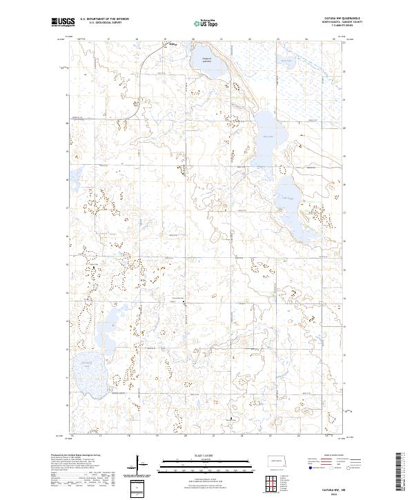
1958 Cayuga NW
Sargent County, ND
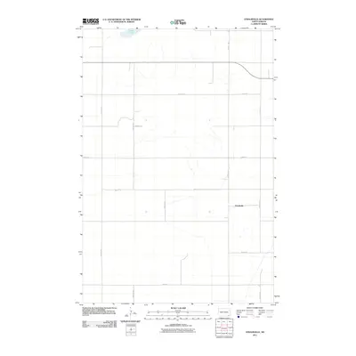
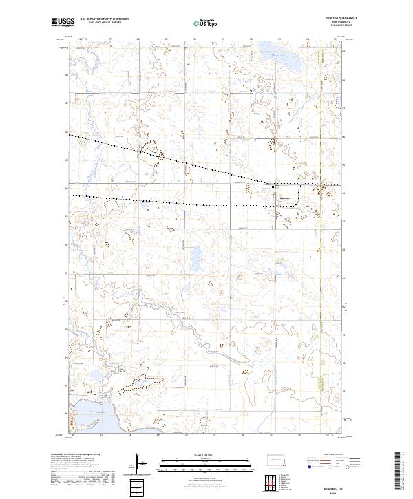
1958 Geneseo
Sargent County, ND
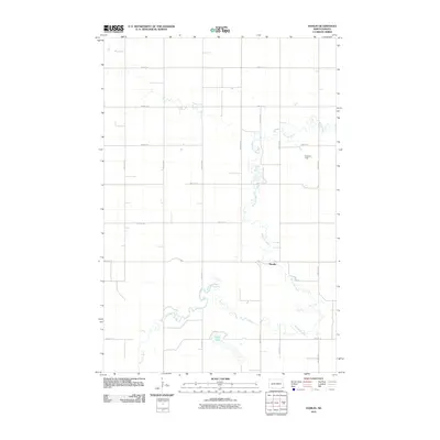
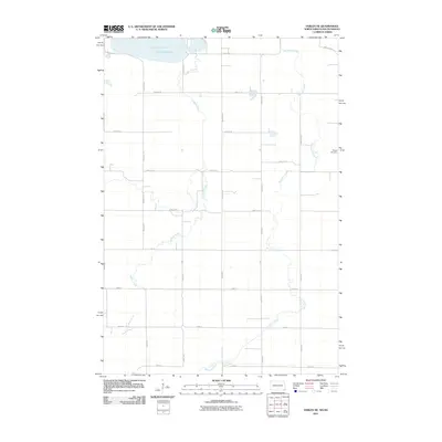
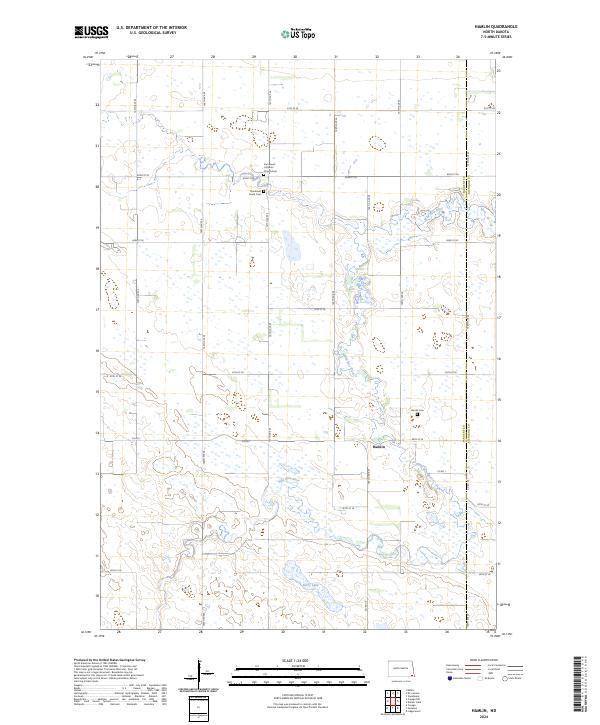
1958 Hamlin
Sargent County, ND
1958 Marlow
Sargent County, ND
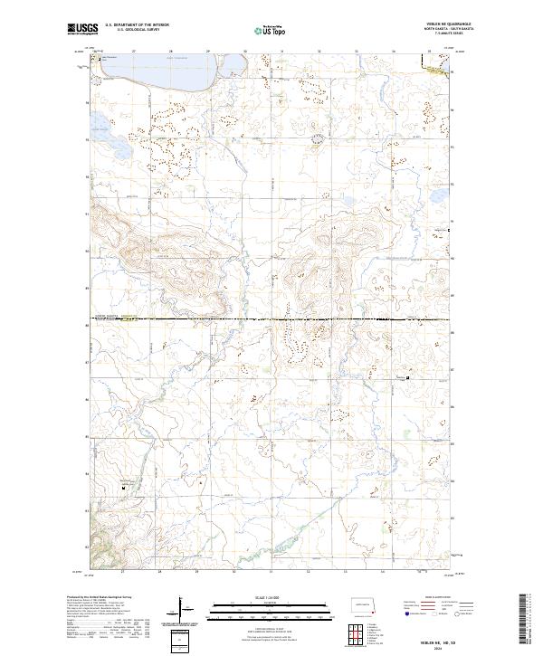
1958 Veblen NE
Sargent County, ND
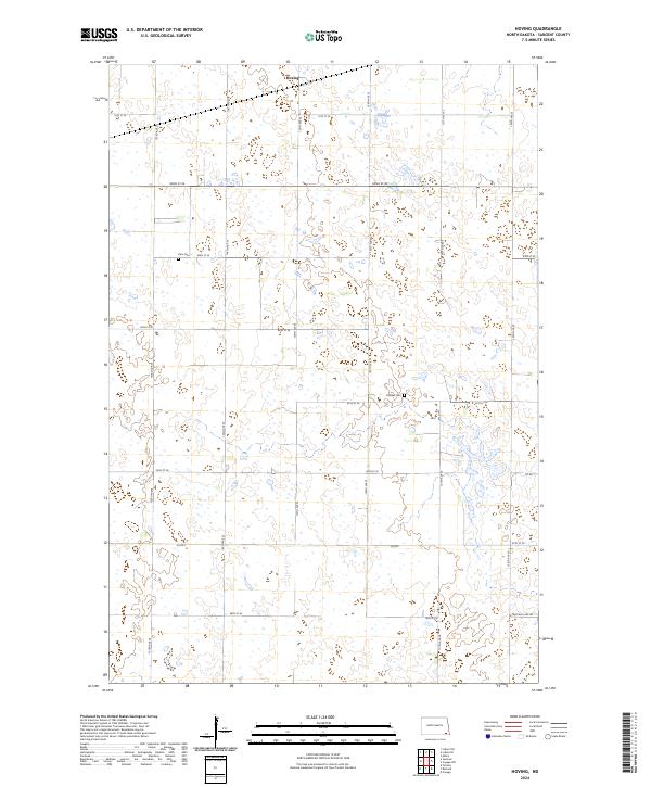
1962 Hoving
Sargent County, ND
2011 Cayuga NW
Sargent County, ND
2011 Crete
Sargent County, ND
2011 Geneseo
Sargent County, ND
2011 Hamlin
Sargent County, ND
2011 Hoving
Sargent County, ND
2011 Newark NW
Sargent County, ND
2011 Stirum
Sargent County, ND
2011 Straubville
Sargent County, ND
2011 Veblen NE
Sargent County, ND
2014 Cayuga NW
Sargent County, ND
2014 Crete
Sargent County, ND
2014 Geneseo
Sargent County, ND
2014 Hamlin
Sargent County, ND
2014 Hoving
Sargent County, ND
2014 Newark NW
Sargent County, ND
2014 Stirum
Sargent County, ND
2014 Straubville
Sargent County, ND
2014 Veblen NE
Sargent County, ND
2017 Cayuga NW
Sargent County, ND
2017 Crete
Sargent County, ND
2017 Geneseo
Sargent County, ND
2017 Stirum
Sargent County, ND
2018 Hamlin
Sargent County, ND
2018 Hoving
Sargent County, ND
2018 Newark NW
Sargent County, ND
2018 Straubville
Sargent County, ND

2018 Veblen NE
Sargent County, ND
2020 Cayuga NW
Sargent County, ND
2020 Crete
Sargent County, ND
2020 Geneseo
Sargent County, ND
2020 Hamlin
Sargent County, ND
2020 Hoving
Sargent County, ND
2020 Newark NW
Sargent County, ND
2020 Stirum
Sargent County, ND
2020 Straubville
Sargent County, ND
2020 Veblen NE
Sargent County, ND
2024 Cayuga NW
Sargent County, ND
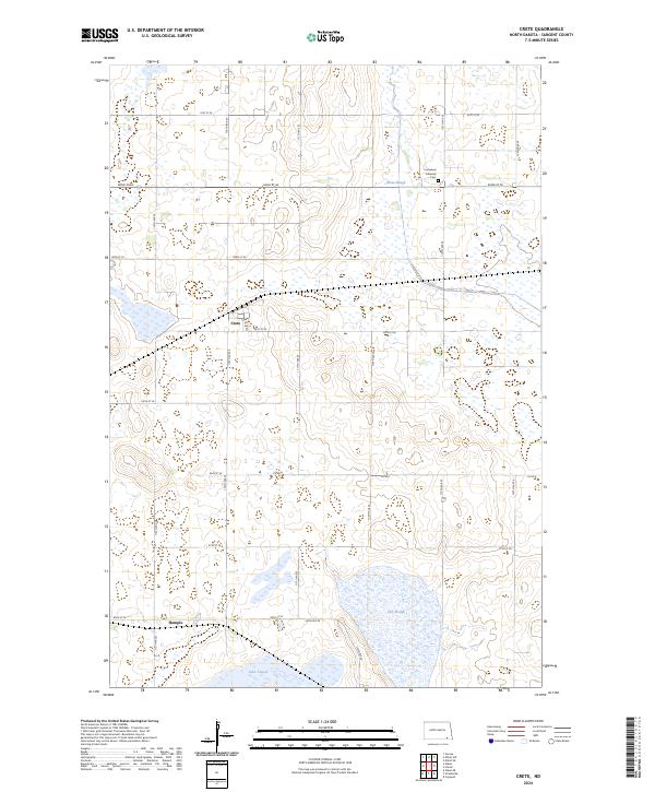
2024 Crete
Sargent County, ND
2024 Geneseo
Sargent County, ND
2024 Hamlin
Sargent County, ND
2024 Hoving
Sargent County, ND
2024 Newark NW
Sargent County, ND
2024 Stirum
Sargent County, ND
2024 Straubville
Sargent County, ND
2024 Veblen NE
Sargent County, ND
Featured Locations
- Harlem Township, ND
- Jackson Township, ND
- Brampton Township, ND
- Southwest Township, ND
- Verner Township, ND