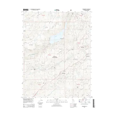
2015 Map of Strawberry
USGS Topo · Published 2015About this map
Strawberry and Pinecrest anchor the eastern edge of this high-elevation landscape within the Stanislaus National Forest. The map documents a complex water management and recreation corridor, centered on the Middle Fork Stanislaus River and the expansive Beardsley Lake. To the north, the Donnell Tunnel represents significant regional engineering, while the Philadelphia Ditch reflects the long-standing infrastructure used to divert water through the granite terrain. The transition from the rugged river canyons to the recreational slopes is marked by Dodge Ridge and the small settlements of Cold Springs and Pedro Flat. Historic transit patterns are visible in the winding routes of Old Mono Rd and Old Strawberry Rd, tracing the evolution of mountain travel before modern highway improvements. The topography is defined by prominent landmarks such as Strawberry Peak and Bald Mtn, interspersed with high-altitude meadows like Sourgrass Meadow.
Find a feature on this map
72 named features on this map. Tap any name to fly to it.
Don’t see what you’re looking for? This feature index may not catch every label — zoom into the map to look around manually.
Map Details
Editions of this 2015 Strawberry Map
This is the sole edition of this map. No revisions or reprints were ever made.
Other maps of this area

1891 · Big Trees
USGS Topo · 1:125,000

1894 · Big Trees
USGS Topo · 1:125,000

1896 · Dardanelles
USGS Topo · 1:125,000

1897 · Big Trees
USGS Topo · 1:125,000

1898 · Dardanelles
USGS Topo · 1:125,000

1901 · Big Trees
USGS Topo · 1:125,000

1947 · Sacramento
USGS Topo · 1:250,000

1948 · Walker Lake
USGS Topo · 1:250,000

1948 · Sacramento
USGS Topo · 1:250,000

1956 · Sacramento
USGS Topo · 1:250,000