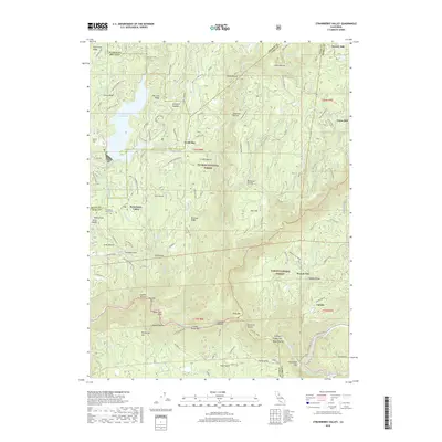
2018 Map of Strawberry Valley
USGS Topo · Published 2018About this map
Strawberry Valley sits at the intersection of Plumas, Butte, and Yuba counties, serving as a focal point for this mountain landscape. The area is defined by its deep ravines and high ridges, including Mooreville Ridge and Peterson Ridge, which channel numerous waterways toward the North Yuba River and Canyon Creek. The presence of the Strawberry Valley Cem and settlements like Brandy City and North Star reflect the region's enduring settlement patterns, while the Sly Creek Reservoir and Slate Cr Reservoir indicate significant water management infrastructure.
Find a feature on this map
84 named features on this map. Tap any name to fly to it.
Don’t see what you’re looking for? This feature index may not catch every label — zoom into the map to look around manually.
Map Details
Editions of this 2018 Strawberry Valley Map
This is the sole edition of this map. No revisions or reprints were ever made.
Other maps of this area

1888 · Smartsville
USGS Topo · 1:125,000

1888 · Bidwell Bar
USGS Topo · 1:125,000

1891 · Bidwell Bar
USGS Topo · 1:125,000

1891 · Downieville
USGS Topo · 1:125,000

1891 · Colfax
USGS Topo · 1:125,000

1891 · Smartsville
USGS Topo · 1:125,000

1892 · Smartsville
USGS Topo · 1:125,000

1892 · Colfax
USGS Topo · 1:125,000

1893 · Bidwell Bar
USGS Topo · 1:125,000

1893 · Downieville
USGS Topo · 1:125,000