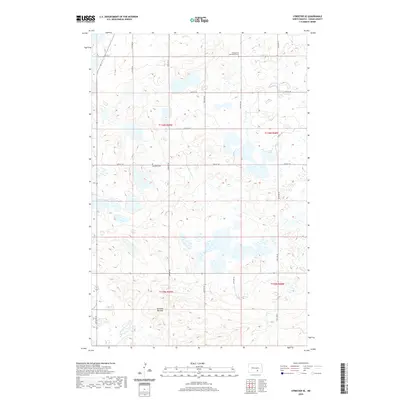
2020 Map of Streeter SE
USGS Topo · Published 2020About this map
The Streeter Moraine dominates this Logan County landscape, presenting a complex glacial topography defined by countless small wetlands and seasonal ponds. This 2020 survey illustrates the remote, agrarian character of the region, where a rigid grid of section lines like 57th St SE and 51st Ave SE imposes order on the irregular terrain. Significant for local historians and genealogists are the isolated burial grounds that punctuate the prairie, including the Evangelical Association Cem in the north and the uniquely named Blue Ball Cem near the center of the quadrangle. These landmarks, along with the transition from T136N to T135N, provide essential anchors for tracing property ownership and lineage in a sparsely populated section of the North Dakota plains.
Find a feature on this map
17 named features on this map. Tap any name to fly to it.
Don’t see what you’re looking for? This feature index may not catch every label — zoom into the map to look around manually.
Map Details
Editions of this 2020 Streeter SE Map
This is the sole edition of this map. No revisions or reprints were ever made.
Other maps of this area

1953 · Jamestown
USGS Topo · 1:250,000

1956 · Jamestown
USGS Topo · 1:250,000

1982 · Fredonia NW
USGS Topo · 1:24,000

1982 · Lehr NW
USGS Topo · 1:24,000

1982 · Lehr NE
USGS Topo · 1:24,000

1983 · Streeter SW
USGS Topo · 1:24,000

1983 · Streeter
USGS Topo · 1:24,000

1983 · Gackle North
USGS Topo · 1:24,000

1983 · Streeter NW
USGS Topo · 1:24,000

1983 · Streeter SE
USGS Topo · 1:24,000