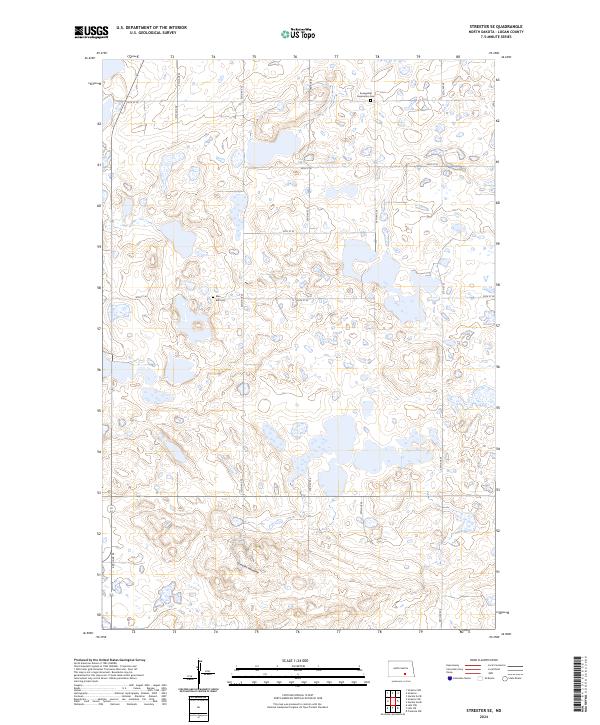
2024 Map of Streeter SE
USGS Topo · Published 2024About this map
Streeter Moraine defines the undulating topography of this Logan County landscape, where numerous wetlands and small water bodies characteristic of glacial drift prairie are found. The area is largely dedicated to conservation and agricultural use, anchored by the Logan County Waterfowl Production Area. This protected habitat reflects the region's importance as a migratory corridor and breeding ground. For those tracing local history and family lineages, the map preserves the locations of two burial sites: Evangelical Association Cem in the north and Blue Ball Cem near the center. The township and range boundaries of t136n r69w, t136n r68w, t135n r69w, and t135n r68w intersect here, organized by a rectangular grid of section roads including 50th Ave SE and 58th St SE.
Find a feature on this map
19 named features on this map. Tap any name to fly to it.
Don’t see what you’re looking for? This feature index may not catch every label — zoom into the map to look around manually.
Map Details
Editions of this 2024 Streeter SE Map
This is the sole edition of this map. No revisions or reprints were ever made.
Other maps of this area

1953 · Jamestown
USGS Topo · 1:250,000

1956 · Jamestown
USGS Topo · 1:250,000

1982 · Fredonia NW
USGS Topo · 1:24,000

1982 · Lehr NW
USGS Topo · 1:24,000

1982 · Lehr NE
USGS Topo · 1:24,000

1983 · Streeter SW
USGS Topo · 1:24,000

1983 · Streeter
USGS Topo · 1:24,000

1983 · Gackle North
USGS Topo · 1:24,000

1983 · Streeter NW
USGS Topo · 1:24,000

1983 · Streeter SE
USGS Topo · 1:24,000