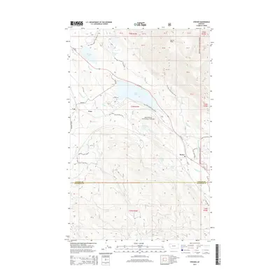
2014 Map of Stryker
USGS Topo · Published 2014About this map
Kootenai National Forest dominates this mountain landscape, where the communities of Trego and Stryker serve as primary points of human settlement along the Us HWY 93 corridor. The geography is defined by a dense network of water bodies, notably the large Dickey Lake and the nearby Murphy Lake, which are fed by alpine drainages like Laughing Water Creek and Dickey Creek. The elevation rises sharply toward Patrick Ridge in the northeast, while the southern portion of the quadrangle follows the upper reaches of the Stillwater River. Numerous forest development roads, such as Natl Forest Develop Road 7007 and Ant Flat Road, crisscross the timbered slopes, illustrating the complex access required for resource management and recreation in this part of Lincoln County. The mapping of smaller basins like Rattlebone Lake and Hidden Lake shows the glaciated character of the terrain.
Find a feature on this map
49 named features on this map. Tap any name to fly to it.
Don’t see what you’re looking for? This feature index may not catch every label — zoom into the map to look around manually.
Map Details
Editions of this 2014 Stryker Map
This is the sole edition of this map. No revisions or reprints were ever made.
Other maps of this area
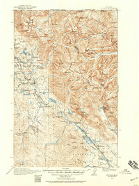
1913 · Stryker
USGS Topo · 1:125,000
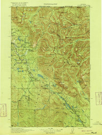
1916 · Stryker
USGS Topo · 1:125,000

1957 · Kalispell
USGS Topo · 1:250,000

1960 · Kalispell
USGS Topo · 1:250,000

1961 · Kalispell
USGS Topo · 1:250,000
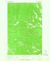
1963 · Mount Marston
USGS Topo · 1:24,000
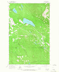
1963 · Stryker
USGS Topo · 1:24,000
1963 · Skillet Mountain
USGS Topo · 1:24,000
1963 · Sunday Mountain
USGS Topo · 1:24,000
1963 · Edna Mountain
USGS Topo · 1:24,000