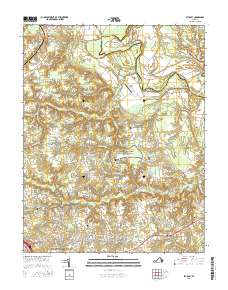
2016 Map of Studley
USGS Topo · Published 2016About this map
The Richmond National Battlefield Park occupies a significant portion of this Virginia landscape, preserving the geography of the Civil War just north of Mechanicsville. The terrain is defined by the winding course of the Pamunkey River and its major tributaries, including Totopotomoy Cr and Matadequin Cr, which have historically shaped the boundaries and agriculture of Hanover and King William counties. Notable landforms like Sutton Neck and Crump Neck are carved by the river's loops, while smaller water features like Hawes Millrace and Talleys Millpond indicate a long history of water-powered industry.
Find a feature on this map
179 named features on this map. Tap any name to fly to it.
Don’t see what you’re looking for? This feature index may not catch every label — zoom into the map to look around manually.
Map Details
Editions of this 2016 Studley Map
This is the sole edition of this map. No revisions or reprints were ever made.
Other maps of this area

1894 · Richmond
USGS Topo · 1:62,500

1895 · Richmond
USGS Topo · 1:62,500

1918 · Doswell
USGS Topo · 1:62,500

1918 · Aylett
USGS Topo · 1:62,500

1920 · King William
USGS Topo · 1:62,500

1933 · Aylett
USGS Topo · 1:62,500

1934 · Seven Pines
USGS Topo · 1:24,000

1934 · Richmond
USGS Topo · 1:24,000

1938 · Seven Pines
USGS Topo · 1:31,680

1938 · Studley
USGS Topo · 1:31,680