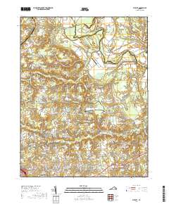
2019 Map of Studley
USGS Topo · Published 2019About this map
The Pamunkey River carves a deep, winding boundary between King William and Hanover Counties, defining the northern landscape near Sutton Neck and Crump Neck. This region is defined by its deep ties to American history, notably through segments of the Richmond National Battlefield Park that preserve the terrain of the American Civil War. The landscape is a mix of small rural communities like Studley, Buckeye, and Pole Green, many of which developed around early transportation routes and water features. Local industrial and agricultural history is visible in features such as the Hawes Millrace and Talleys Millpond. Genealogists will find significant value in the numerous local burial grounds, including the Chestnut Grove Baptist Church Cem and New Bethesda Church Cem, which serve as quiet markers of the area's long-standing families and congregations.
Find a feature on this map
174 named features on this map. Tap any name to fly to it.
Don’t see what you’re looking for? This feature index may not catch every label — zoom into the map to look around manually.
Map Details
Editions of this 2019 Studley Map
This is the sole edition of this map. No revisions or reprints were ever made.
Other maps of this area

1894 · Richmond
USGS Topo · 1:62,500

1895 · Richmond
USGS Topo · 1:62,500

1918 · Doswell
USGS Topo · 1:62,500

1918 · Aylett
USGS Topo · 1:62,500

1920 · King William
USGS Topo · 1:62,500

1933 · Aylett
USGS Topo · 1:62,500

1934 · Seven Pines
USGS Topo · 1:24,000

1934 · Richmond
USGS Topo · 1:24,000

1938 · Seven Pines
USGS Topo · 1:31,680

1938 · Studley
USGS Topo · 1:31,680