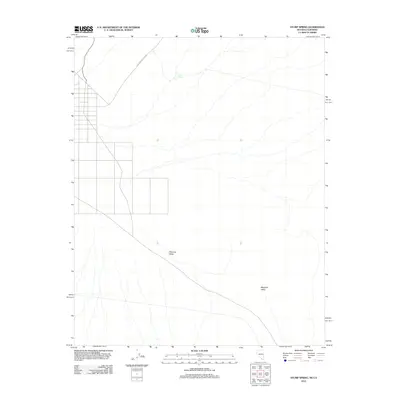
2012 Map of Stump Spring
USGS Topo · Published 2012About this map
Pahrump Valley and Mesquite Valley converge on this 2012 topographic record, highlighting the arid expanse along the California and Nevada border. The landscape is defined by the historic corridor of the Old Spanish Trail Hwy, a route that follows ancient paths through the desert floor. Water is the primary driver of activity in this dry basin, marked here by the presence of Stump Spring. The map documents a sparse network of modern roads and grid developments that intersect with the traditional routes of travelers who have crossed these basins for centuries. This survey provides a precise look at the contemporary footprint of these desert valleys, noting the transition from open alluvial fans to the organized parcels appearing on the western edge of the quadrangle.
Find a feature on this map
4 named features on this map. Tap any name to fly to it.
Don’t see what you’re looking for? This feature index may not catch every label — zoom into the map to look around manually.
Map Details
Editions of this 2012 Stump Spring Map
This is the sole edition of this map. No revisions or reprints were ever made.
Other maps of this area

1907 · Las Vegas
USGS Topo · 1:250,000

1908 · Las Vegas
USGS Topo · 1:250,000

1910 · Ivanpah
USGS Topo · 1:250,000

1912 · Ivanpah
USGS Topo · 1:250,000

1942 · Ivanpah
USGS Topo · 1:250,000

1947 · Kingman
USGS Topo · 1:250,000

1948 · Kingman
USGS Topo · 1:250,000

1954 · Las Vegas
USGS Topo · 1:250,000

1954 · Kingman
USGS Topo · 1:250,000

1955 · Kingman
USGS Topo · 1:250,000