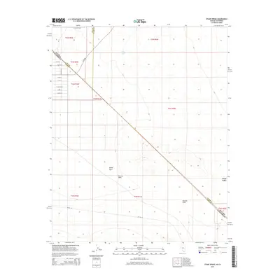
2015 Map of Stump Spring
USGS Topo · Published 2015About this map
Stump Spring serves as a vital water source in this arid expanse where the Mojave Desert transitions through the Pahrump Valley, Mesquite Valley, and Sandy Valley. The landscape is defined by the striking diagonal of the Nevada California state line, which cuts through complex county boundaries involving Nye, Clark, and Inyo. This survey documents a structured grid of residential streets on the western edge, including E Charleston Ln and E Crystal Rd, indicating localized development within the desert environment. Farther east, the terrain opens into broad alluvial plains crossed by functional routes like Tecopa Rd and Two Hk Rd. The mapping of these specific desert basins and named springs reflects the critical importance of reliable water and transportation corridors in the high desert of the early twenty-first century.
Find a feature on this map
29 named features on this map. Tap any name to fly to it.
Don’t see what you’re looking for? This feature index may not catch every label — zoom into the map to look around manually.
Map Details
Editions of this 2015 Stump Spring Map
This is the sole edition of this map. No revisions or reprints were ever made.
Other maps of this area

1907 · Las Vegas
USGS Topo · 1:250,000

1908 · Las Vegas
USGS Topo · 1:250,000

1910 · Ivanpah
USGS Topo · 1:250,000

1912 · Ivanpah
USGS Topo · 1:250,000

1942 · Ivanpah
USGS Topo · 1:250,000

1947 · Kingman
USGS Topo · 1:250,000

1948 · Kingman
USGS Topo · 1:250,000

1954 · Las Vegas
USGS Topo · 1:250,000

1954 · Kingman
USGS Topo · 1:250,000

1955 · Kingman
USGS Topo · 1:250,000