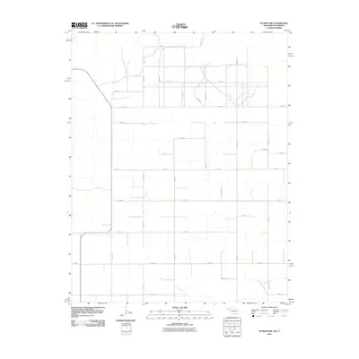
2010 Map of Sturgis NW
USGS Topo · Published 2010About this map
Cimarron R flows through the northwestern corner of this territory, where the borders of Oklahoma and Colorado meet in Cimarron County. The landscape is defined by a strict section-line road grid that overlays the high plains, punctuated by the seasonal drainage of Goff Creek in the south. This network of rural thoroughfares, including County Rd 51 and N0480 Rd, reflects the enduring agrarian structure of the region in the early twenty-first century. While no formal towns appear within these bounds, the systematic layout of roads such as E0050 Rd and E0090 Rd indicates the sparse but organized settlement pattern of the Oklahoma Panhandle, providing a clear reference for local land ownership and historical property boundaries.
Find a feature on this map
25 named features on this map. Tap any name to fly to it.
Don’t see what you’re looking for? This feature index may not catch every label — zoom into the map to look around manually.
Map Details
Editions of this 2010 Sturgis NW Map
This is the sole edition of this map. No revisions or reprints were ever made.
Other maps of this area

1892 · Vilas
USGS Topo · 1:125,000

1954 · Dalhart
USGS Topo · 1:250,000

1955 · La Junta
USGS Topo · 1:250,000

1958 · La Junta
USGS Topo · 1:250,000

1958 · Dalhart
USGS Topo · 1:250,000

1962 · Dalhart
USGS Topo · 1:250,000

1968 · La Junta
USGS Topo · 1:250,000

1971 · Sturgis
USGS Topo · 1:24,000

1971 · Keyes West
USGS Topo · 1:24,000

1971 · Hopkins
USGS Topo · 1:24,000