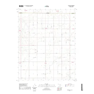
2018 Map of Sturgis NW
USGS Topo · Published 2018About this map
The high plains border between Colorado and Oklahoma defines this landscape in the western panhandle region during the late 2010s. This survey area, split between Baca County and Cimarron County, shows a strictly organized section-line grid typical of the Great Plains. The few deviations from the geometric road network occur along the southern reaches near Goff Cr, where intermittent drainage patterns create varied elevation contours.
Find a feature on this map
41 named features on this map. Tap any name to fly to it.
Don’t see what you’re looking for? This feature index may not catch every label — zoom into the map to look around manually.
Map Details
Editions of this 2018 Sturgis NW Map
This is the sole edition of this map. No revisions or reprints were ever made.
Other maps of this area
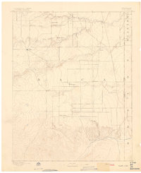
1892 · Vilas
USGS Topo · 1:125,000
1954 · Dalhart
USGS Topo · 1:250,000

1955 · La Junta
USGS Topo · 1:250,000

1958 · La Junta
USGS Topo · 1:250,000
1958 · Dalhart
USGS Topo · 1:250,000
1962 · Dalhart
USGS Topo · 1:250,000

1968 · La Junta
USGS Topo · 1:250,000
1971 · Sturgis
USGS Topo · 1:24,000
1971 · Keyes West
USGS Topo · 1:24,000
1971 · Hopkins
USGS Topo · 1:24,000