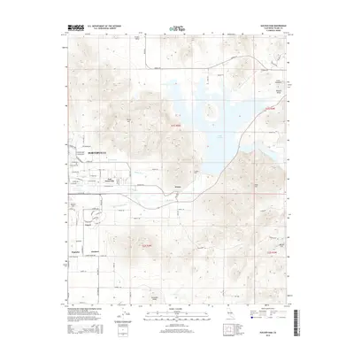
2015 Map of Success Dam
USGS Topo · Published 2015About this map
Success Dam holds the waters of Lake Success on this 2015 study, where the Tule River meets the eastern edge of the San Joaquin Valley. The landscape transition is marked by the developed grid of Porterville and East Porterville giving way to the foothills of Rocky Hill and Tennessee Ridge. This contemporary survey shows how water management remains central to the region's character, with features like Pioneer Ditch, Porter Slough, and Campbell-Moreland Ditch distributing resources across the citrus-heavy landscape. Smaller rural settlements such as Sunland, Magnolia, and Lumer are clearly defined alongside landmarks like the Porterville Cem. The intricate network of local roads and avenues provides a high level of detail for those studying property boundaries and the modern footprint of these Tulare County communities.
Find a feature on this map
79 named features on this map. Tap any name to fly to it.
Don’t see what you’re looking for? This feature index may not catch every label — zoom into the map to look around manually.
Map Details
Editions of this 2015 Success Dam Map
This is the sole edition of this map. No revisions or reprints were ever made.
Other maps of this area
1904 · Kaweah
USGS Topo · 1:125,000
1909 · Kaweah
USGS Topo · 1:125,000
1928 · Lindsay
USGS Topo · 1:31,680
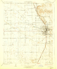
1929 · Porterville
USGS Topo · 1:31,680
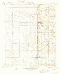
1929 · Ducor
USGS Topo · 1:31,680
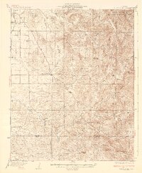
1936 · White River
USGS Topo · 1:62,500
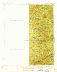
1936 · Tobias Peak
USGS Topo · 1:125,000
1937 · Kaweah
USGS Topo · 1:125,000
1942 · Porterville
USGS Topo · 1:62,500
1942 · Terra Bella
USGS Topo · 1:62,500