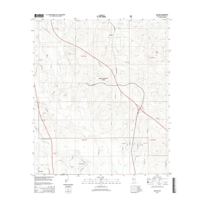
2015 Map of Success
USGS Topo · Published 2015About this map
Desoto National Forest dominates the upper half of this Harrison County survey, where the small community of Success marks a key junction along Saucier Fairley Rd. The landscape is defined by the complex drainage of the Biloxi River and the Little Biloxi River, which converge near the southern settlement of Lyman. This water-rich geography is crossed by the Little Biloxi River Bridge and fed by numerous tributaries like Saucier Cr, Tiger Cr, and Walker Cr.
Find a feature on this map
74 named features on this map. Tap any name to fly to it.
Don’t see what you’re looking for? This feature index may not catch every label — zoom into the map to look around manually.
Map Details
Editions of this 2015 Success Map
This is the sole edition of this map. No revisions or reprints were ever made.
Other maps of this area
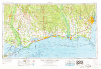
1953 · Mobile
USGS Topo · 1:250,000
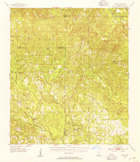
1954 · Vestry
USGS Topo · 1:62,500
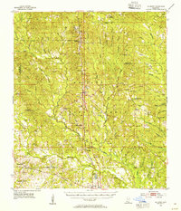
1954 · McHenry
USGS Topo · 1:62,500
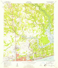
1954 · Gulfport North
USGS Topo · 1:24,000
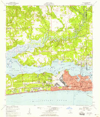
1954 · Biloxi
USGS Topo · 1:24,000
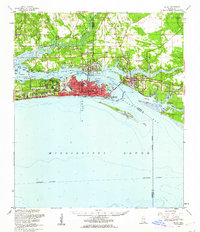
1954 · Biloxi
USGS Topo · 1:62,500
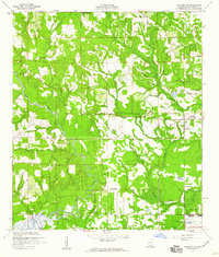
1956 · Gulfport NW
USGS Topo · 1:24,000
1957 · Mobile
USGS Topo · 1:250,000
1960 · Mobile
USGS Topo · 1:250,000
1963 · Mobile
USGS Topo · 1:250,000