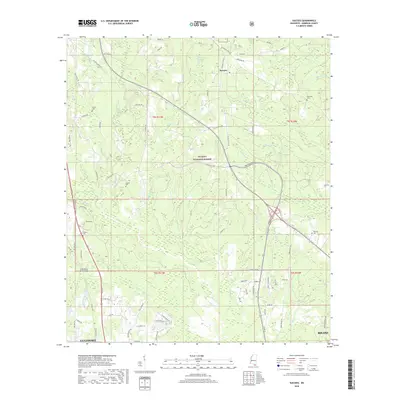
2018 Map of Success
USGS Topo · Published 2018About this map
Success sits at the heart of this landscape, positioned within the expansive De Soto National Forest. The geography is defined by the convergence of several waterways, most notably the winding courses of the Biloxi River and the Little Biloxi River. These river systems, along with tributaries like Saucier Creek and Tiger Cr, shaped the early settlement patterns of the Pine Belt before modern highways like Tradition Pkwy altered the local topography.
Find a feature on this map
83 named features on this map. Tap any name to fly to it.
Don’t see what you’re looking for? This feature index may not catch every label — zoom into the map to look around manually.
Map Details
Editions of this 2018 Success Map
This is the sole edition of this map. No revisions or reprints were ever made.
Other maps of this area
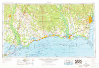
1953 · Mobile
USGS Topo · 1:250,000
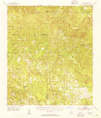
1954 · Vestry
USGS Topo · 1:62,500
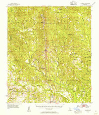
1954 · McHenry
USGS Topo · 1:62,500
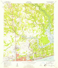
1954 · Gulfport North
USGS Topo · 1:24,000
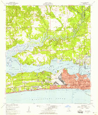
1954 · Biloxi
USGS Topo · 1:24,000
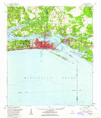
1954 · Biloxi
USGS Topo · 1:62,500
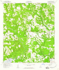
1956 · Gulfport NW
USGS Topo · 1:24,000
1957 · Mobile
USGS Topo · 1:250,000
1960 · Mobile
USGS Topo · 1:250,000
1963 · Mobile
USGS Topo · 1:250,000