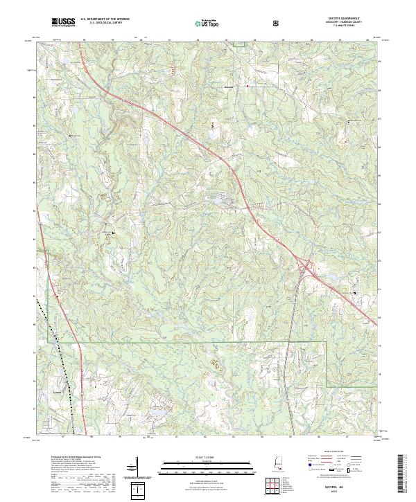
2024 Map of Success
USGS Topo · Published 2024About this map
The Biloxi River and Little Biloxi River converge in this section of Harrison County, Mississippi, where the landscape is defined by the dense woodlands of the De Soto National Forest. The settlement of Success serves as a central point in the northern territory, while the community of Lyman occupies the southwest near the fork of the rivers. Historical family connections are well-preserved through numerous local burial grounds, including Midway Cem, Saucier Cem, and Blackwell Cem, which are scattered throughout the rural acreage. The presence of E Railroad St in Lyman and a dedicated School Rd reflect the early development patterns of these southern piney woods settlements. This modern survey tracks the evolving road network, from the major thoroughfare of Saucier Fairley Rd to local residential lanes like Swan Lake Blvd, while documenting the intricate drainage of branches such as Pasture Branch and Beaver Dam Branch.
Find a feature on this map
98 named features on this map. Tap any name to fly to it.
Don’t see what you’re looking for? This feature index may not catch every label — zoom into the map to look around manually.
Map Details
Editions of this 2024 Success Map
This is the sole edition of this map. No revisions or reprints were ever made.
Other maps of this area

1953 · Mobile
USGS Topo · 1:250,000

1954 · Vestry
USGS Topo · 1:62,500

1954 · McHenry
USGS Topo · 1:62,500

1954 · Gulfport North
USGS Topo · 1:24,000

1954 · Biloxi
USGS Topo · 1:24,000

1954 · Biloxi
USGS Topo · 1:62,500

1956 · Gulfport NW
USGS Topo · 1:24,000

1957 · Mobile
USGS Topo · 1:250,000

1960 · Mobile
USGS Topo · 1:250,000

1963 · Mobile
USGS Topo · 1:250,000