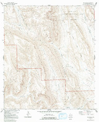
1971 Map of Sue Peaks
USGS Topo · Published 1992About this map
Big Bend National Park defines the southern portion of this landscape, where the high summits of Sue Peaks rise above a complex network of canyons and ridges. This 1971 survey captures a transition between protected federal lands and the Black Gap Wildlife Management Area to the north, showcasing the dramatic topography of the Sierra del Carmen and the Sierra del Caballo Muerto.
Find a feature on this map
24 named features on this map. Tap any name to fly to it.
Don’t see what you’re looking for? This feature index may not catch every label — zoom into the map to look around manually.
Map Details
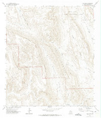
Editions of this 1971 Sue Peaks Map
2 editions found
Other maps of this area

1903 · Chisos Mountains
USGS Topo · 1:125,000

1905 · Chisos Mountains
USGS Topo · 1:125,000

1917 · Bone Spring
USGS Topo · 1:62,500

1918 · Bone Spring
USGS Topo · 1:125,000

1918 · Bone Spring
USGS Topo · 1:62,500

1919 · Maravillas Canyon
USGS Topo · 1:62,500

1920 · Bone Spring
USGS Topo · 1:62,500

1930 · Stillwell Creek
USGS Topo · 1:62,500

1959 · Emory Peak
USGS Topo · 1:250,000

1965 · Emory Peak
USGS Topo · 1:250,000