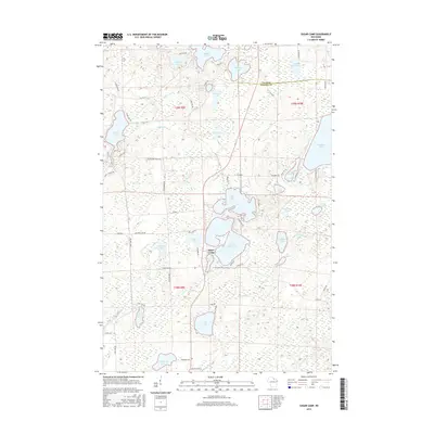
2015 Map of Sugar Camp
USGS Topo · Published 2015About this map
Sugar Camp serves as the central settlement in this Northwoods landscape, situated where the glacial topography of Oneida Co meets the southern border of Vilas Co. The area is defined by an intricate network of waterways, with the sprawling Sugar Camp Lake and Indian Lake anchoring the central district. Smaller bodies like Bass Lake and Lily Lake are connected by a web of named creeks, including Burnham Cr and Indian Chain Cr, illustrating the complex drainage patterns of the Wisconsin lake country.
Find a feature on this map
73 named features on this map. Tap any name to fly to it.
Don’t see what you’re looking for? This feature index may not catch every label — zoom into the map to look around manually.
Map Details
Editions of this 2015 Sugar Camp Map
This is the sole edition of this map. No revisions or reprints were ever made.
Other maps of this area

1928 · Three Lakes
USGS Topo · 1:48,000

1930 · Robbins
USGS Topo · 1:48,000

1938 · Three Lakes
USGS Topo · 1:48,000

1938 · Robbins
USGS Topo · 1:48,000

1940 · Monico
USGS Topo · 1:48,000

1940 · Rhinelander
USGS Topo · 1:48,000

1945 · Three Lakes
USGS Topo · 1:48,000

1945 · Robbins
USGS Topo · 1:48,000

1949 · Rhinelander
USGS Topo · 1:48,000

1950 · Monico
USGS Topo · 1:48,000