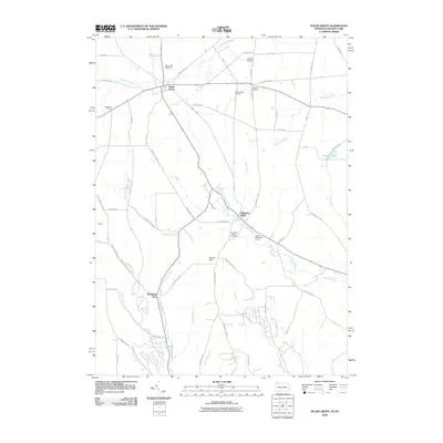
2010 Map of Sugar Grove
USGS Topo · Published 2010About this map
Sugar Grove and the surrounding borderlands of New York and Pennsylvania appear here as a landscape defined by small crossroad settlements and a network of named runs. The community of Chandlers Valley sits at the junction of Rounds Hill Rd and Swede Rd, serving as a focal point for the eastern half of the sheet. Regional infrastructure and industry are evident through the Sanders Airport and the Sugar Grove Oil Field, which speak to the area's development beyond simple agriculture.
Find a feature on this map
57 named features on this map. Tap any name to fly to it.
Don’t see what you’re looking for? This feature index may not catch every label — zoom into the map to look around manually.
Map Details
Editions of this 2010 Sugar Grove Map
This is the sole edition of this map. No revisions or reprints were ever made.
Other maps of this area

1904 · Chautaqua
USGS Topo · 1:62,500

1905 · Jamestown
USGS Topo · 1:62,500

1906 · Warren
USGS Topo · 1:62,500

1907 · Warren
USGS Topo · 1:62,500

1908 · Warren
USGS Topo · 1:62,500

1926 · Youngsville
USGS Topo · 1:62,500

1929 · Youngsville
USGS Topo · 1:62,500

1941 · Chautauqua
USGS Topo · 1:62,500

1942 · Jamestown
USGS Topo · 1:62,500

1943 · Youngsville
USGS Topo · 1:62,500