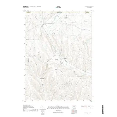
2019 Map of Sugar Grove
USGS Topo · Published 2019About this map
Sugar Grove sits at the northern edge of the Pennsylvania-New York state line, serving as a focal point for a landscape defined by its creek valleys and upland ridges. The area’s geography is shaped by the drainage patterns of Stillwater Cr and Jackson Run, which cut through the terrain surrounding Brown Hill. This 2019 survey reflects a rural community with deep roots, visible through established landmarks like Cherry Hill Cem and Wesleyan Cem.
Find a feature on this map
58 named features on this map. Tap any name to fly to it.
Don’t see what you’re looking for? This feature index may not catch every label — zoom into the map to look around manually.
Map Details
Editions of this 2019 Sugar Grove Map
This is the sole edition of this map. No revisions or reprints were ever made.
Other maps of this area

1904 · Chautaqua
USGS Topo · 1:62,500

1905 · Jamestown
USGS Topo · 1:62,500

1906 · Warren
USGS Topo · 1:62,500

1907 · Warren
USGS Topo · 1:62,500

1908 · Warren
USGS Topo · 1:62,500

1926 · Youngsville
USGS Topo · 1:62,500

1929 · Youngsville
USGS Topo · 1:62,500

1941 · Chautauqua
USGS Topo · 1:62,500

1942 · Jamestown
USGS Topo · 1:62,500

1943 · Youngsville
USGS Topo · 1:62,500