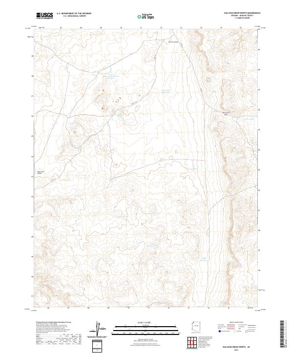
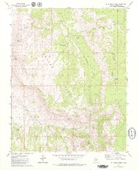
2021 Map of Sullivan Draw North
USGS Topo · Published 2021About this map
Wolf Hole Valley serves as the central geographic focus of this northern Arizona landscape, where a series of water catchments and ponds define the human and animal presence in an arid environment. The map details a network of vital water sources including the Whiterock Soapstone Reservoir, Sinkhole Pond, and Myron Pond, illustrating how ranching or ecological management adapts to the drainage of Sullivan Draw. Transportation is limited to a few arterial routes like Co HWY 101 and Co RD 5, which navigate the elevation changes near Wolf Hole Pass. These landmarks, along with family-named or utilitarian features such as Larson Tank and School Section Pond, provide a clear picture of the land-use patterns in this high-desert territory, where survival and movement are dictated by the presence of water and navigable gaps in the terrain.
Find a feature on this map
20 named features on this map. Tap any name to fly to it.
Don’t see what you’re looking for? This feature index may not catch every label — zoom into the map to look around manually.
Map Details
Editions of this 2021 Sullivan Draw North Map
This is the sole edition of this map. No revisions or reprints were ever made.
Other maps of this area

1886 · Mt. Trumbull
USGS Topo · 1:250,000

1892 · Mt. Trumbull
USGS Topo · 1:250,000

1953 · Grand Canyon
USGS Topo · 1:250,000

1957 · Grand Canyon
USGS Topo · 1:250,000

1958 · Grand Canyon
USGS Topo · 1:250,000

1960 · Grand Canyon
USGS Topo · 1:250,000
1979 · Sullivan Draw North
USGS Topo · 1:24,000
1979 · Hole-N-Wall
USGS Topo · 1:24,000
1979 · Sullivan Draw South
USGS Topo · 1:24,000
1979 · St. George Canyon
USGS Topo · 1:24,000