
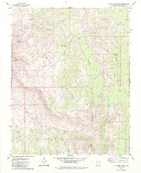
1979 Map of St. George Canyon
USGS Topo · Published 1979About this map
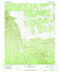
Hidden Points Rim anchors this high-elevation landscape in northwestern Arizona, where deep drainage systems like St George Canyon and Jump Canyon carve through the plateau. The map reveals a land utilized for both mining and livestock management in the late 1970s, evidenced by scattered resource sites like the Hidden Mines and Hardrock. Remote infrastructure is critical here, with numerous water catchments such as Ferguson Tank, The Bin Tank, and Post Office Tank supporting activity far from established settlements.
Find a feature on this map
24 named features on this map. Tap any name to fly to it.
Don’t see what you’re looking for? This feature index may not catch every label — zoom into the map to look around manually.
Map Details
Editions of this 1979 St. George Canyon Map
2 editions found
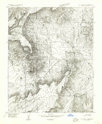
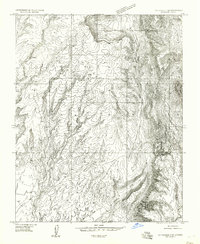
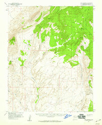
Other maps of this area

1886 · Mt. Trumbull
USGS Topo · 1:250,000

1892 · Mt. Trumbull
USGS Topo · 1:250,000

1953 · Grand Canyon
USGS Topo · 1:250,000
1954 · Littlefield 3 NE
USGS Topo · 1:24,000
1954 · Littlefield 3 SE
USGS Topo · 1:24,000
1954 · Cane Springs
USGS Topo · 1:62,500

1957 · Grand Canyon
USGS Topo · 1:250,000

1958 · Grand Canyon
USGS Topo · 1:250,000

1960 · Grand Canyon
USGS Topo · 1:250,000
1971 · Poverty Spring
USGS Topo · 1:24,000