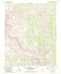
1979 Map of St. George Canyon
USGS Topo · Published 1985About this map
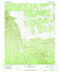
Hidden Mines sit deep within the complex network of drainages that define this portion of the Arizona Strip in Mohave County. Mapping from the mid-1970s reveals a landscape organized around isolated water sources and technical topographic navigation, where features like One Way Pass and Hidden Canyon provide the only viable routes through the dramatic elevation changes of the Hidden Points Rim. The distribution of man-made water improvements, such as Shoe Buckle Reservoir and the Post Office Tank, indicates the vital importance of water management for livestock or small-scale operations in this arid environment.
Find a feature on this map
26 named features on this map. Tap any name to fly to it.
Don’t see what you’re looking for? This feature index may not catch every label — zoom into the map to look around manually.
Map Details
Editions of this 1979 St. George Canyon Map
2 editions found

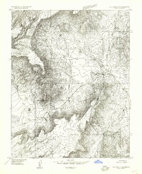
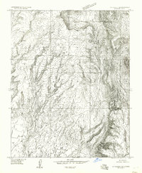
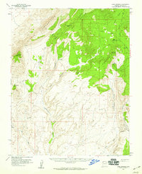
Other maps of this area

1886 · Mt. Trumbull
USGS Topo · 1:250,000

1892 · Mt. Trumbull
USGS Topo · 1:250,000

1953 · Grand Canyon
USGS Topo · 1:250,000
1954 · Littlefield 3 NE
USGS Topo · 1:24,000
1954 · Littlefield 3 SE
USGS Topo · 1:24,000
1954 · Cane Springs
USGS Topo · 1:62,500

1957 · Grand Canyon
USGS Topo · 1:250,000

1958 · Grand Canyon
USGS Topo · 1:250,000

1960 · Grand Canyon
USGS Topo · 1:250,000
1971 · Poverty Spring
USGS Topo · 1:24,000