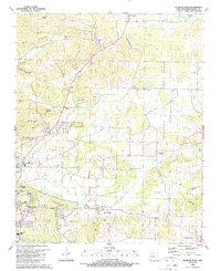
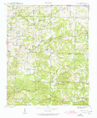
1989 Map of Sulphur Rock
USGS Topo · Published 1990About this map
The White River valley outskirts east of Batesville appear here in a period of transition, showing the expansion of higher education and technical training alongside traditional rural landmarks. Arkansas College and the Gateway Vo-Tech Sch serve the growing population near Pfeiffer Junction, while the landscape is dotted with ancestral burial grounds such as Lees Chapel Cem, Reobeth Cem, and Stark Cem.
Find a feature on this map
65 named features on this map. Tap any name to fly to it.
Don’t see what you’re looking for? This feature index may not catch every label — zoom into the map to look around manually.
Map Details
Editions of this 1989 Sulphur Rock Map
This is the sole edition of this map. No revisions or reprints were ever made.
Other maps of this area

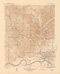
1890 · Batesville
USGS Topo · 1:125,000

1891 · Batesville
USGS Topo · 1:125,000

1932 · Strawberry
USGS Topo · 1:62,500

1935 · Strawberry
USGS Topo · 1:62,500
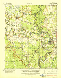
1935 · Newport
USGS Topo · 1:62,500

1941 · Strawberry
USGS Topo · 1:62,500
1942 · Jamestown
USGS Topo · 1:31,680
1942 · Salado
USGS Topo · 1:31,680
1942 · Batesville
USGS Topo · 1:31,680
1943 · Sandtown
USGS Topo · 1:24,000