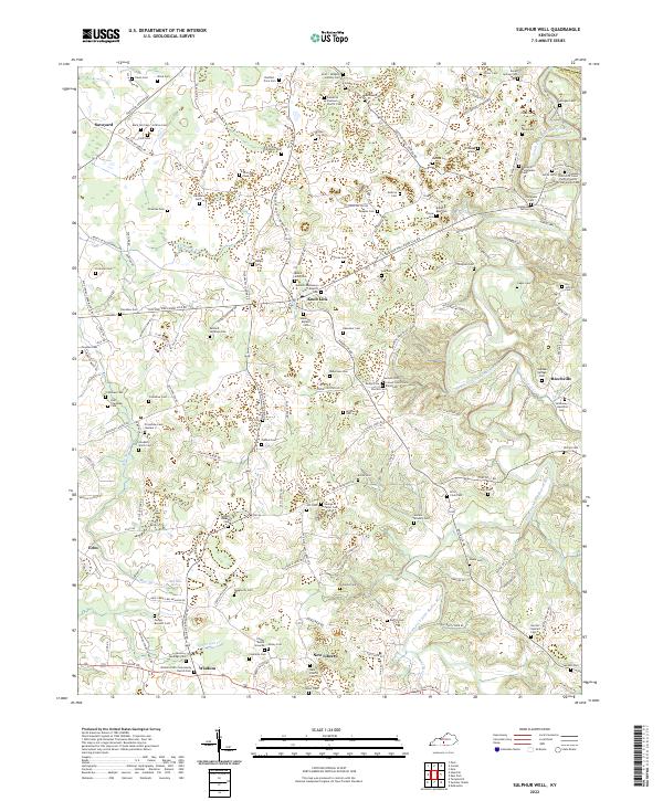
2022 Map of Sulphur Well
USGS Topo · Published 2022About this map
Knob Lick and Savoyard anchor this portion of northern Metcalfe County, where a dense network of family cemeteries and rural churches reveals the deep-rooted settlement patterns of the region. The landscape is defined by the winding course of the South Fork Little Barren River and tributaries like Sulphur Creek and Blue Spring Creek. Numerous small burial sites, such as the Coffey Burial Grounds and Duff Crenshaw Cemetery, are scattered across the terrain, often located near private farm roads like Ratliff Mitchell Road or Bobby McCandless Road. In the south, the community of Wisdom sits near White Oak Creek, while the settlement of Beechville marks the eastern edge near the Hart County line. This geography illustrates a classic Kentucky upland pattern where small communities and family holdings are intimately tied to the local hydrology and ridge-top road systems.
Find a feature on this map
166 named features on this map. Tap any name to fly to it.
Don’t see what you’re looking for? This feature index may not catch every label — zoom into the map to look around manually.
Map Details
Editions of this 2022 Sulphur Well Map
This is the sole edition of this map. No revisions or reprints were ever made.
Other maps of this area

1935 · Horse Cave
USGS Topo · 1:48,000

1938 · Horse Cave
USGS Topo · 1:62,500

1953 · Sulphur Well
USGS Topo · 1:24,000

1953 · Temple Hill
USGS Topo · 1:24,000

1953 · Edmonton
USGS Topo · 1:24,000

1953 · Summer Shade
USGS Topo · 1:24,000

1953 · Exie
USGS Topo · 1:24,000

1953 · Center
USGS Topo · 1:24,000

1953 · East Fork
USGS Topo · 1:24,000

1954 · Park
USGS Topo · 1:24,000