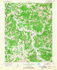
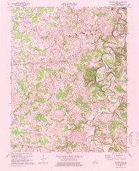
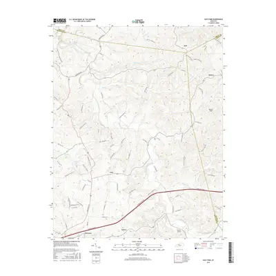
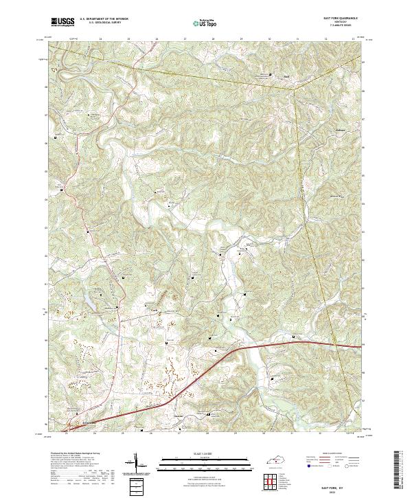
1953 Map of East Fork
USGS Topo · Published 1967About this map
The Little Barren River and its tributary, the East Fork Little Barren River, carve a winding path through this portion of Metcalfe and Green Counties. The landscape is defined by a dense network of rural infrastructure, where small community centers like Keltner served as local hubs. The mapping reveals a pattern of mid-century life heavily reliant on localized social institutions, evidenced by the high density of country schools such as Stony Point Sch and Angelly Sch.
Find a feature on this map
41 named features on this map. Tap any name to fly to it.
Don’t see what you’re looking for? This feature index may not catch every label — zoom into the map to look around manually.
Map Details
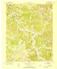
Editions of this 1953 East Fork Map
2 editions found
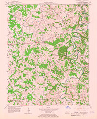
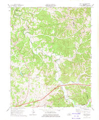
Historical Maps of Edmonton Through Time
14 maps found
1953 East Fork
Metcalfe County, KY
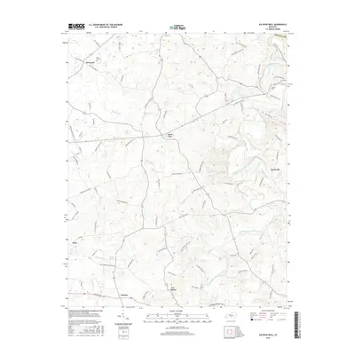
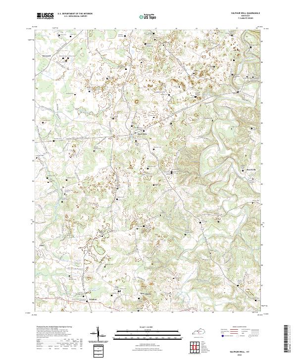
1953 Sulphur Well
Metcalfe County, KY
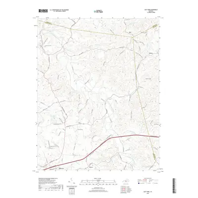
1973 East Fork
Metcalfe County, KY
1973 Sulphur Well
Metcalfe County, KY
2010 East Fork
Metcalfe County, KY
2010 Sulphur Well
Metcalfe County, KY
2013 East Fork
Metcalfe County, KY
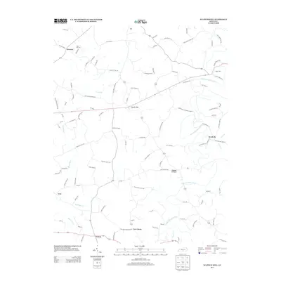
2013 Sulphur Well
Metcalfe County, KY
2016 East Fork
Metcalfe County, KY
2016 Sulphur Well
Metcalfe County, KY
2019 East Fork
Metcalfe County, KY
2019 Sulphur Well
Metcalfe County, KY
2022 East Fork
Metcalfe County, KY
2022 Sulphur Well
Metcalfe County, KY