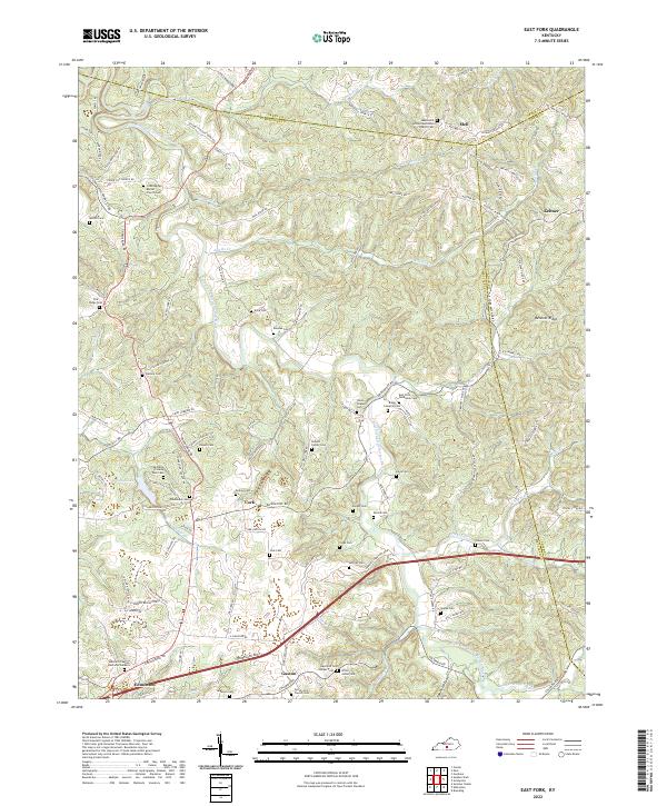
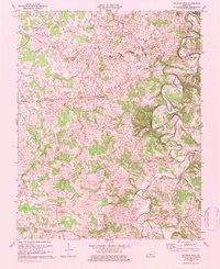
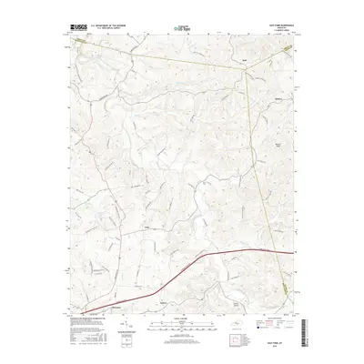
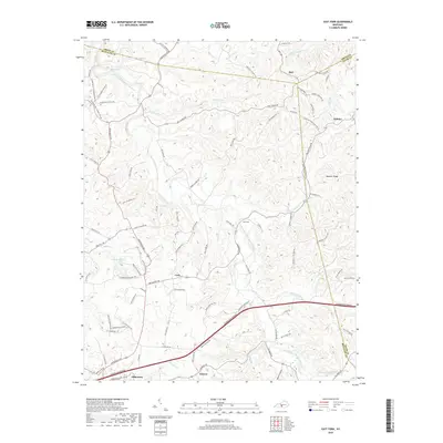
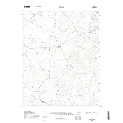
2022 Map of East Fork
USGS Topo · Published 2022About this map
Edmonton serves as the focal point for this rural landscape in Metcalfe County, situated just north of the Cumberland Pkwy. The terrain is defined by the winding course of the East Fork Little Barren River and its numerous tributaries, including Adams Cr and Prices Creek. Smaller settlements like Cork and Mell are interconnected by a network of ridge roads, such as Keltner Mell Ridge Rd and Bennett Ridge.
Find a feature on this map
125 named features on this map. Tap any name to fly to it.
Don’t see what you’re looking for? This feature index may not catch every label — zoom into the map to look around manually.
Map Details
Editions of this 2022 East Fork Map
This is the sole edition of this map. No revisions or reprints were ever made.
Historical Maps of Edmonton Through Time
14 maps found
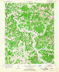
1953 East Fork
Metcalfe County, KY
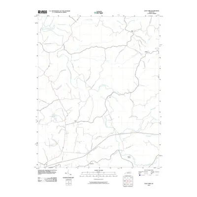
1953 Sulphur Well
Metcalfe County, KY
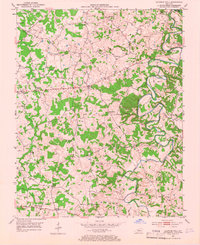
1973 East Fork
Metcalfe County, KY
1973 Sulphur Well
Metcalfe County, KY
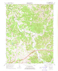
2010 East Fork
Metcalfe County, KY
2010 Sulphur Well
Metcalfe County, KY
2013 East Fork
Metcalfe County, KY
2013 Sulphur Well
Metcalfe County, KY
2016 East Fork
Metcalfe County, KY
2016 Sulphur Well
Metcalfe County, KY
2019 East Fork
Metcalfe County, KY
2019 Sulphur Well
Metcalfe County, KY
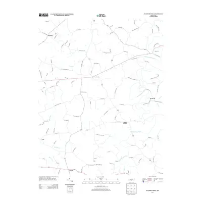
2022 East Fork
Metcalfe County, KY
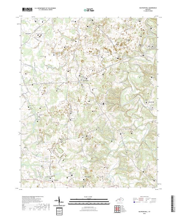
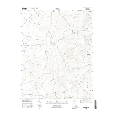
2022 Sulphur Well
Metcalfe County, KY