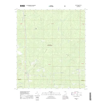
2018 Map of Sumatra
USGS Topo · Published 2018About this map
Sumatra and Bon Ami sit as quiet outposts within the sprawling landscape of the Apalachicola National Forest in the Florida Panhandle. This 2018 survey reveals a terrain defined by its complex hydrology, where sluggish waterways and wetlands dominate the geography. To the east, the New River and its W Branch wind through dense forest, while inland features like Boggy Jordan, Mill Swamp, and Post Office Bay indicate the low-lying, often inundated nature of the region. Local landmarks such as Wright Lake and the Black Creek Islands provide points of reference in an area otherwise characterized by a dense grid of service roads, including National Forest Road 114 and Sumatra Rd. The map illustrates the boundary between Liberty Co and Franklin Co, showing how the natural environment has constrained development to these specific rural corridors.
Find a feature on this map
32 named features on this map. Tap any name to fly to it.
Don’t see what you’re looking for? This feature index may not catch every label — zoom into the map to look around manually.
Map Details
Editions of this 2018 Sumatra Map
This is the sole edition of this map. No revisions or reprints were ever made.
Other maps of this area

1944 · Forbes Island
USGS Topo · 1:24,000

1944 · Queens Bay
USGS Topo · 1:24,000

1945 · Forbes Island
USGS Topo · 1:31,680

1945 · Kennedy Creek
USGS Topo · 1:31,680

1945 · Tates Hell Swamp
USGS Topo · 1:31,680

1945 · Orange
USGS Topo · 1:31,680

1945 · Fort Gadsden
USGS Topo · 1:31,680

1946 · Queens Bay
USGS Topo · 1:31,680

1946 · Sumatra
USGS Topo · 1:31,680

1946 · Owens Bridge
USGS Topo · 1:31,680