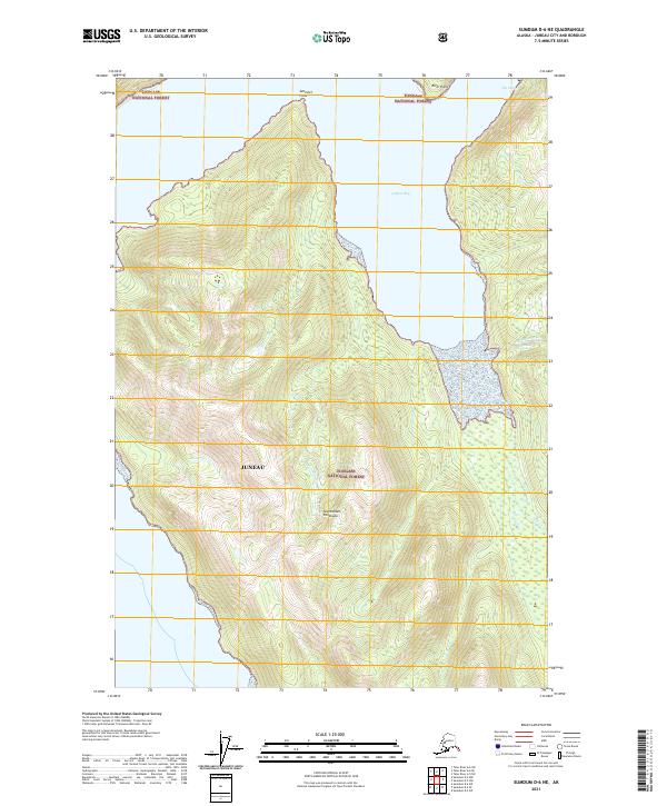
2021 Map of Sumdum D-6 NE
USGS Topo · Published 2021About this map
Tongass National Forest dominates this coastal landscape within the Juneau city and borough, where the dramatic interface between tide and mountain is documented in detail. The topography is defined by the Snettisham Peninsula, a massive landform projecting into the surrounding waters, flanked by Gilbert Bay to the northeast. Notable coastal markers like Sentinel Point and River Point help orient navigators along these complex shorelines.
Find a feature on this map
15 named features on this map. Tap any name to fly to it.
Don’t see what you’re looking for? This feature index may not catch every label — zoom into the map to look around manually.
Map Details
Editions of this 2021 Sumdum D-6 NE Map
This is the sole edition of this map. No revisions or reprints were ever made.
Other maps of this area

1948 · Sumdum D-6
USGS Topo · 1:63,360

1948 · Sumdum D-5
USGS Topo · 1:63,360

1951 · Taku River A-5
USGS Topo · 1:63,360

1951 · Taku River A-6
USGS Topo · 1:63,360

1951 · Sumdum D-6
USGS Topo · 1:63,360

1952 · Sumdum
USGS Topo · 1:250,000

1953 · Taku River
USGS Topo · 1:250,000

1955 · Sumdum D-5
USGS Topo · 1:63,360

1960 · Taku River
USGS Topo · 1:250,000

1961 · Sumdum
USGS Topo · 1:250,000