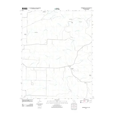
2011 Map of Summersville NE
USGS Topo · Published 2011About this map
Black Valley Creek and Spring Valley Creek carve through the dissected plateau of the Ozarks in this Shannon County landscape. The area is defined by its karst topography, most notably the massive Forty Acre Sinkhole and Cave Spring, which highlight the complex subterranean drainage systems typical of southern Missouri. This 2011 survey documents a rural network of county roads, such as Co Road YY-A and Co Rd-106, connecting isolated landmarks and family-named terrain features like Hawk Hollow and Wolf Hollow.
Find a feature on this map
41 named features on this map. Tap any name to fly to it.
Don’t see what you’re looking for? This feature index may not catch every label — zoom into the map to look around manually.
Map Details
Editions of this 2011 Summersville NE Map
This is the sole edition of this map. No revisions or reprints were ever made.
Other maps of this area

1915 · Eminence
USGS Topo · 1:62,500

1917 · Eminence
USGS Topo · 1:62,500

1932 · Cedar Grove
USGS Topo · 1:48,000

1945 · Round Spring
USGS Topo · 1:62,500

1946 · Summersville
USGS Topo · 1:62,500

1947 · Sinkin
USGS Topo · 1:48,000

1948 · Summersville
USGS Topo · 1:62,500

1949 · Round Spring
USGS Topo · 1:62,500

1949 · Rolla
USGS Topo · 1:250,000
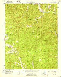
1951 · Lewis Hollow
USGS Topo · 1:24,000