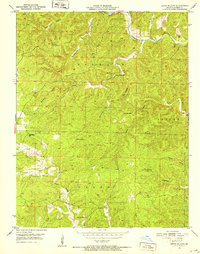
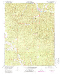
1951 Map of Lewis Hollow
USGS Topo · Published 1952About this map
Current River flows through the northeastern corner of this Shannon County landscape, carving a deep valley that defines the local geography. The 1951 survey reveals a rural Ozark community organized around its hollows and valleys, with remote education centers like Lewis Hollow Sch, Black Valley Sch, and Willow Springs Sch serving as essential landmarks for local families. Higher elevations are punctuated by the Hartshorn Lookout Tower, while industrial activity is represented by a small Quarry. The terrain is characterized by intricate drainage systems, including Sumac Valley and the distinct Burr Oak Basin. Significant water features such as Skunk Pond and the headwaters of Black Valley Creek indicate a landscape where geography and settlement are inextricably linked to the numerous hollows, such as Dooley Hollow and Fishtrap Hollow, that provide natural corridors through the hills.
Find a feature on this map
25 named features on this map. Tap any name to fly to it.
Don’t see what you’re looking for? This feature index may not catch every label — zoom into the map to look around manually.
Map Details
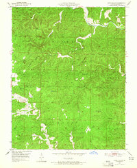
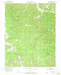
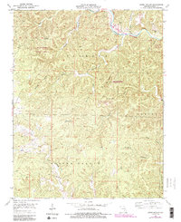
Editions of this 1951 Lewis Hollow Map
5 editions found
Other maps of this area

1915 · Eminence
USGS Topo · 1:62,500

1917 · Eminence
USGS Topo · 1:62,500

1932 · Cedar Grove
USGS Topo · 1:48,000

1945 · Round Spring
USGS Topo · 1:62,500

1946 · Summersville
USGS Topo · 1:62,500

1947 · Sinkin
USGS Topo · 1:48,000

1948 · Summersville
USGS Topo · 1:62,500

1949 · Round Spring
USGS Topo · 1:62,500

1949 · Rolla
USGS Topo · 1:250,000

1951 · Montauk
USGS Topo · 1:24,000