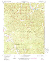
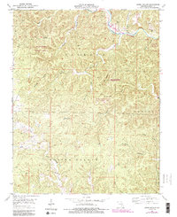
1951 Map of Lewis Hollow
USGS Topo · Published 1985About this map
Hartshorn State Forest and the Ozark National Scenic Riverways dominate this Missouri landscape, which is defined by a dense network of hollows and ridges in Shannon County. The Current River meanders through the northeast corner, a focal point for the region's conservation and recreational identity. Historical markers of the mid-century wilderness include the Hartshorn Lookout Tower, perched on a high ridge to monitor the expansive timberlands.
Find a feature on this map
27 named features on this map. Tap any name to fly to it.
Don’t see what you’re looking for? This feature index may not catch every label — zoom into the map to look around manually.
Map Details
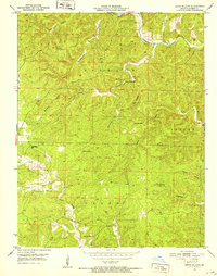
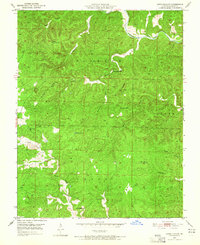
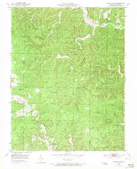
Editions of this 1951 Lewis Hollow Map
5 editions found
Other maps of this area

1915 · Eminence
USGS Topo · 1:62,500

1917 · Eminence
USGS Topo · 1:62,500

1932 · Cedar Grove
USGS Topo · 1:48,000

1945 · Round Spring
USGS Topo · 1:62,500

1946 · Summersville
USGS Topo · 1:62,500

1947 · Sinkin
USGS Topo · 1:48,000

1948 · Summersville
USGS Topo · 1:62,500

1949 · Round Spring
USGS Topo · 1:62,500

1949 · Rolla
USGS Topo · 1:250,000

1951 · Montauk
USGS Topo · 1:24,000