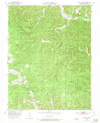
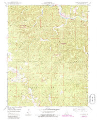
1951 Map of Lewis Hollow
USGS Topo · Published 1971About this map
Current River flows through the northern reaches of this Shannon County landscape, a terrain defined by deep hollows and basins during the early 1950s. State Geologist Edward L. Clark oversaw the surveying of this area, which highlights a network of rural education centers including Lewis Hollow Sch, Black Valley Sch, and Willow Springs Sch. The land is divided among the townships of Jackson, Casto, and Jasper, with the Hartshorn Lookout Tower providing a strategic vantage point over the timbered slopes.
Find a feature on this map
24 named features on this map. Tap any name to fly to it.
Don’t see what you’re looking for? This feature index may not catch every label — zoom into the map to look around manually.
Map Details
Editions of this 1951 Lewis Hollow Map
5 editions found
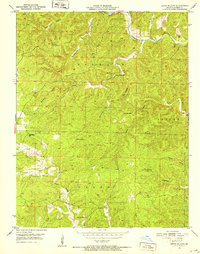
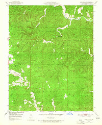
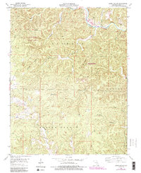
Other maps of this area

1915 · Eminence
USGS Topo · 1:62,500

1917 · Eminence
USGS Topo · 1:62,500

1932 · Cedar Grove
USGS Topo · 1:48,000

1945 · Round Spring
USGS Topo · 1:62,500

1946 · Summersville
USGS Topo · 1:62,500

1947 · Sinkin
USGS Topo · 1:48,000

1948 · Summersville
USGS Topo · 1:62,500

1949 · Round Spring
USGS Topo · 1:62,500

1949 · Rolla
USGS Topo · 1:250,000

1951 · Montauk
USGS Topo · 1:24,000