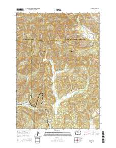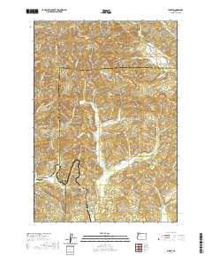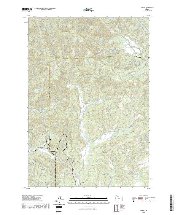
2023 Map of Summit
USGS Topo · Published 2023About this map
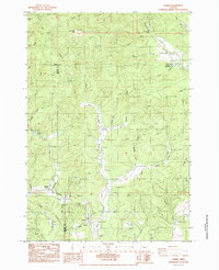
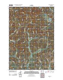
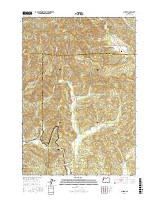
Summit sits as a central junction where the headwaters of the Marys River and the Yaquina River nearly meet. This high-elevation terrain in the Oregon Coast Range is defined by a complex network of ridges, including Cougar Ridge and Bonner Ridge, which separate the drainages of the Luckiamute River to the north from the river systems to the south. Local history is anchored by the small community of Nashville and several family burial grounds, such as Mays Strouts Cem and Claremont Cem. The map illustrates the rugged transition between Benton and Lincoln counties, where timber-access routes like Green Mtn FS Rd and Granite Creek Rd wind through heavily forested peaks like Green Mtn and Little Grass Mtn. Water is a constant presence, with numerous small tributaries like Spilde Creek and Blodgett Creek carving deep into the landscape.
Find a feature on this map
70 named features on this map. Tap any name to fly to it.
Don’t see what you’re looking for? This feature index may not catch every label — zoom into the map to look around manually.
Map Details
Editions of this 2023 Summit Map
This is the sole edition of this map. No revisions or reprints were ever made.
Historical Maps of Polk County Through Time
6 maps found