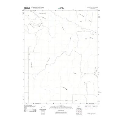
2011 Map of Summit Point
USGS Topo · Published 2011About this map
Vanadium Queen Mine and numerous other extraction sites punctuate this high-altitude landscape on the Utah-Colorado border during the early 21st century. The map centers on the high plateaus of West Summit and East Summit, where the local economy and land use are clearly defined by mineral exploration. Deep drainages like Mc Intyre Canyon and Little Indian Canyon carve through the terrain, separating prominent landforms such as Island Mesa and Horse Range Mesa. The distribution of sites like the Happy Jack Mine, Cuba Mine, and the Civet Cat Group Mine illustrates a legacy of uranium and vanadium mining that has long characterized the Lisbon Valley region. A network of specialized roads, including Little Indian Canyon Rd and Wilson Shaft Rd, provides access to these industrial landmarks across the rugged topography.
Find a feature on this map
34 named features on this map. Tap any name to fly to it.
Don’t see what you’re looking for? This feature index may not catch every label — zoom into the map to look around manually.
Map Details
Editions of this 2011 Summit Point Map
This is the sole edition of this map. No revisions or reprints were ever made.
Other maps of this area

1885 · La Sal
USGS Topo · 1:250,000

1886 · Abajo
USGS Topo · 1:250,000

1892 · Abajo
USGS Topo · 1:250,000

1893 · Abajo
USGS Topo · 1:250,000

1916 · Paradox Valley
USGS Topo · 1:125,000

1922 · Paradox Valley
USGS Topo · 1:125,000

1948 · Horse Range Mesa
USGS Topo · 1:24,000

1949 · Egnar
USGS Topo · 1:24,000
1949 · Anderson Mesa
USGS Topo · 1:24,000

1950 · Horse Range Mesa
USGS Topo · 1:24,000