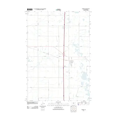
2012 Map of Summit
USGS Topo · Published 2012About this map
The Big Sioux River and Indian River drain this portion of the Big Course District, where the prairie landscape is defined by glacial depressions and a rectilinear grid of section roads. The small community of Brooks Corner sits at the intersection of 142nd St and 454th Ave, serving as a landmark in a region characterized by numerous small water bodies such as Mollie Lake, Summit Lake, and Twin Lakes.
Find a feature on this map
27 named features on this map. Tap any name to fly to it.
Don’t see what you’re looking for? This feature index may not catch every label — zoom into the map to look around manually.
Map Details
Editions of this 2012 Summit Map
This is the sole edition of this map. No revisions or reprints were ever made.
Other maps of this area

1953 · Milbank
USGS Topo · 1:250,000

1958 · Milbank
USGS Topo · 1:250,000

1970 · Summit
USGS Topo · 1:24,000

1970 · Lonesome Lake
USGS Topo · 1:24,000

1970 · Summit NE
USGS Topo · 1:24,000

1970 · Marvin
USGS Topo · 1:24,000

1970 · Wilmot NW
USGS Topo · 1:24,000

1970 · Enemy Swim Lake East
USGS Topo · 1:24,000

1970 · Ortley
USGS Topo · 1:24,000

1970 · Still Lake NE
USGS Topo · 1:24,000