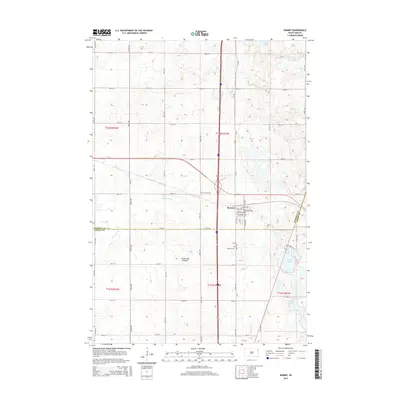
2015 Map of Summit
USGS Topo · Published 2015About this map
The town of Summit serves as the central hub of this prairie landscape, situated near the boundary line between Roberts Co and Grant Co. The geography is defined by the Coteau des Prairies, a high plateau that influences the local drainage patterns. Water features are prominent throughout the region, including the headwaters of the Big Sioux River and the Indian River. To the northeast, Mollie Lake sits among the glacial depressions, while Summit Lake and the Twin Lakes occupy the southeastern reaches of the quadrangle.
Find a feature on this map
28 named features on this map. Tap any name to fly to it.
Don’t see what you’re looking for? This feature index may not catch every label — zoom into the map to look around manually.
Map Details
Editions of this 2015 Summit Map
This is the sole edition of this map. No revisions or reprints were ever made.
Other maps of this area

1953 · Milbank
USGS Topo · 1:250,000

1958 · Milbank
USGS Topo · 1:250,000

1970 · Summit
USGS Topo · 1:24,000

1970 · Lonesome Lake
USGS Topo · 1:24,000

1970 · Summit NE
USGS Topo · 1:24,000

1970 · Marvin
USGS Topo · 1:24,000

1970 · Wilmot NW
USGS Topo · 1:24,000

1970 · Enemy Swim Lake East
USGS Topo · 1:24,000

1970 · Ortley
USGS Topo · 1:24,000

1970 · Still Lake NE
USGS Topo · 1:24,000