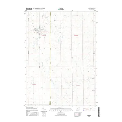
2015 Map of Sumner
USGS Topo · Published 2015About this map
The Little Wapsipinicon River meanders southward through this rural corridor along the border of Bremer and Fayette counties. The city of Sumner serves as the primary hub, where a systematic grid of streets like Wapsie St and N Railroad St indicates its history as a rail-oriented prairie settlement. Further south, the smaller village of Westgate sits near the banks of Stoe Cr, anchoring the southeastern corner of the quadrangle.
Find a feature on this map
50 named features on this map. Tap any name to fly to it.
Don’t see what you’re looking for? This feature index may not catch every label — zoom into the map to look around manually.
Map Details
Editions of this 2015 Sumner Map
This is the sole edition of this map. No revisions or reprints were ever made.
Other maps of this area

1901 · Oelwein
USGS Topo · 1:125,000

1954 · Waterloo
USGS Topo · 1:250,000

1955 · Waterloo
USGS Topo · 1:250,000

1959 · Dubuque
USGS Topo · 1:250,000

1961 · Dubuque
USGS Topo · 1:250,000

1962 · Dubuque
USGS Topo · 1:250,000

1971 · Readlyn
USGS Topo · 1:24,000

1971 · Sumner
USGS Topo · 1:24,000

1971 · Alpha
USGS Topo · 1:24,000

1971 · Sumner SW
USGS Topo · 1:24,000