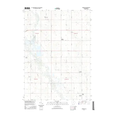
2015 Map of Sumner SW
USGS Topo · Published 2015About this map
The Wapsipinicon River and its East Fork define the drainage of this Bremer County landscape, where the town of Tripoli sits near the western edge of the quadrangle. The terrain is a characteristic Iowa mix of agricultural plats and riparian wetlands, most notably the sprawling Sweet Marsh complex that dominates the central-western section. This 2015 data reflects a deeply established rural cemetery network, including sites like Mount Olivet Cem, Pinhook Cem, and Grace Cem, which serve as vital markers for local genealogical research. Small settlements and former post office locations such as Spring Fountain and Buck Creek are positioned along the county road network, which follows the rigid section lines of the Public Land Survey System. The map further identifies several denominational burial grounds, such as the Saint Pauls United Church of Christ Cem and Saint Johns Evangelical Lutheran Cem, illustrating the cultural and religious heritage of the surrounding farming communities.
Find a feature on this map
52 named features on this map. Tap any name to fly to it.
Don’t see what you’re looking for? This feature index may not catch every label — zoom into the map to look around manually.
Map Details
Editions of this 2015 Sumner SW Map
This is the sole edition of this map. No revisions or reprints were ever made.
Other maps of this area

1954 · Waterloo
USGS Topo · 1:250,000

1955 · Waterloo
USGS Topo · 1:250,000

1963 · Denver
USGS Topo · 1:24,000

1971 · Readlyn
USGS Topo · 1:24,000

1971 · Sumner
USGS Topo · 1:24,000

1971 · Alpha
USGS Topo · 1:24,000

1971 · Sumner SW
USGS Topo · 1:24,000

1971 · Fredericksburg
USGS Topo · 1:24,000

1971 · Frederika
USGS Topo · 1:24,000

1971 · Fairbank
USGS Topo · 1:24,000