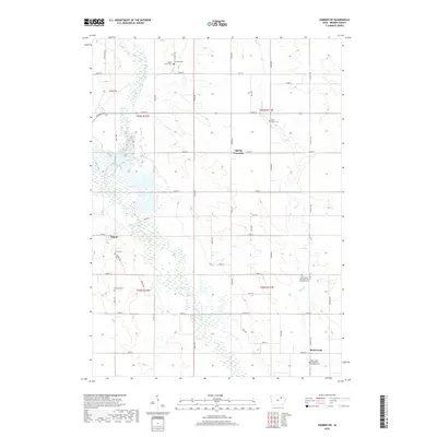
2018 Map of Sumner SW
USGS Topo · Published 2018About this map
The East Fork Wapsipinicon River meanders south through this corner of Bremer County, Iowa, defining a landscape of low-lying wetlands and fertile upland farms. Central to this geography is the Sweet Marsh, an expansive riparian complex that dominates the central portion of the quadrangle north of Tripoli. This area reflects the late 20th-century intersection of agricultural development and conservation, where the river's path is flanked by a grid of rural roads like Sable Ave and Tahoe Ave.
Find a feature on this map
51 named features on this map. Tap any name to fly to it.
Don’t see what you’re looking for? This feature index may not catch every label — zoom into the map to look around manually.
Map Details
Editions of this 2018 Sumner SW Map
This is the sole edition of this map. No revisions or reprints were ever made.
Other maps of this area

1954 · Waterloo
USGS Topo · 1:250,000

1955 · Waterloo
USGS Topo · 1:250,000

1963 · Denver
USGS Topo · 1:24,000

1971 · Readlyn
USGS Topo · 1:24,000

1971 · Sumner
USGS Topo · 1:24,000

1971 · Alpha
USGS Topo · 1:24,000

1971 · Sumner SW
USGS Topo · 1:24,000

1971 · Fredericksburg
USGS Topo · 1:24,000

1971 · Frederika
USGS Topo · 1:24,000

1971 · Fairbank
USGS Topo · 1:24,000