2023 Map of Sunbury
USGS Topo · Published 2023About this map
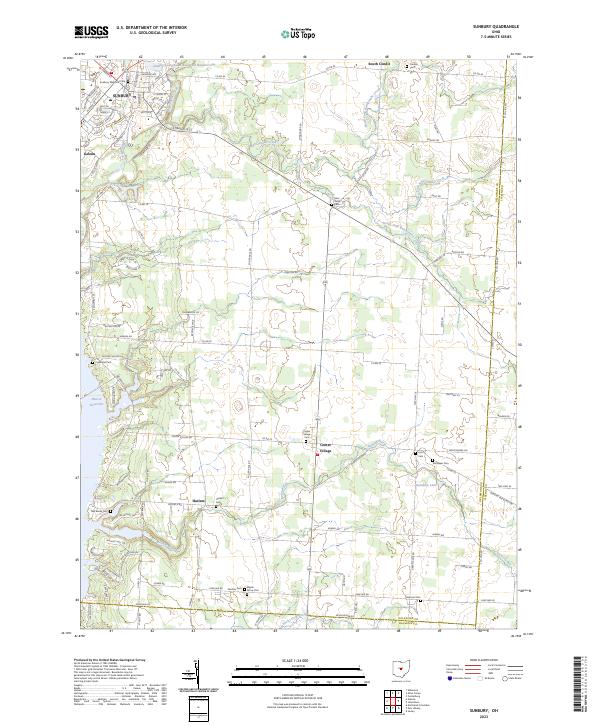
Sunbury sits at the northern end of this central Ohio landscape, where the waters of Big Walnut Creek and Prairie Run converge near the Sunbury Upground Reservoir Number One. The terrain is defined by the branching tributaries of Rattlesnake Creek, including its North Fork and South Fork, which flow southeast toward the Hoover Reservoir shoreline. This modern survey illustrates the suburban expansion around Galena and Harlem, juxtaposed with the enduring rural heritage of unincorporated areas like South Condit and Center Village. For family historians, the sheet is particularly well-indexed with local burial grounds, ranging from Sunbury Memorial Park to the smaller Vans Valley Cem, Fancher Cem, and Wichieser Cem, documenting the pioneer and farmstead legacy of Delaware County's eastern townships.
Find a feature on this map
121 named features on this map. Tap any name to fly to it.
Don’t see what you’re looking for? This feature index may not catch every label — zoom into the map to look around manually.
Map Details
Editions of this 2023 Sunbury Map
This is the sole edition of this map. No revisions or reprints were ever made.
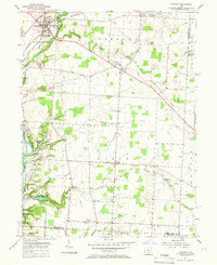
Historical Maps of Genoa Township Through Time
3 maps found

Featured Locations
- Sunbury, OH
- Berkshire Township, OH
- Genoa Township, OH
- Harlem, Harlem Township
- Galena, Berkshire Township