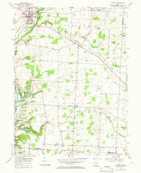
1955 Map of Sunbury
USGS Topo · Published 1966About this map
Sunbury and Galena anchor the northwestern reaches of this mid-1950s landscape, a region transitioning as the newly formed Hoover Reservoir begins to reshape the local geography. The map captures the rural character of Delaware County before significant suburban expansion, evidenced by the numerous small family and community burial grounds like Red Banks Cem, Vans Valley Cem, and Fancher Cem.
Find a feature on this map
38 named features on this map. Tap any name to fly to it.
Don’t see what you’re looking for? This feature index may not catch every label — zoom into the map to look around manually.
Map Details
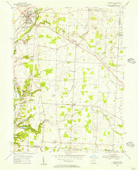
Editions of this 1955 Sunbury Map
2 editions found
Other maps of this area

1902 · Westerville
USGS Topo · 1:62,500

1904 · Westerville
USGS Topo · 1:62,500

1908 · Granville
USGS Topo · 1:62,500

1910 · Granville
USGS Topo · 1:62,500

1915 · Marengo
USGS Topo · 1:62,500

1915 · Fredericktown
USGS Topo · 1:62,500

1943 · Marengo
USGS Topo · 1:62,500

1943 · Fredericktown
USGS Topo · 1:62,500

1950 · Marion
USGS Topo · 1:250,000
1954 · Northeast Columbus
USGS Topo · 1:24,000