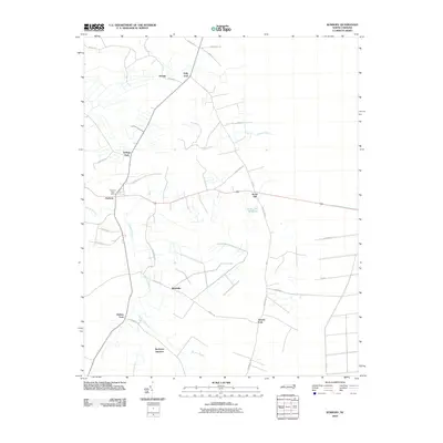
2010 Map of Sunbury
USGS Topo · Published 2010About this map
Sunbury serves as the central hub of this eastern North Carolina landscape, where the Sunbury Post Office marks the intersection of local commerce and community life. The surrounding area is characterized by a network of rural forks, including Folly Fork, Kellogs Fork, Hoflers Fork, and Greens Fork, which define the historic crossroads that linked remote farmsteads. To the south, Beckford Junction hints at the region's transportation history, situated near the winding reaches of Raynor Swamp. This low-lying terrain is punctuated by significant water features like the Acorn Hill Millpond near the settlement of Acorn Hill. The map documents a landscape where agricultural roads like Bosley Rd and Gates Rd weave through the drainage basins of Goose Creek and Raynor Swamp, reflecting a settlement pattern deeply influenced by the coastal plain's hydrology.
Find a feature on this map
32 named features on this map. Tap any name to fly to it.
Don’t see what you’re looking for? This feature index may not catch every label — zoom into the map to look around manually.
Map Details
Editions of this 2010 Sunbury Map
This is the sole edition of this map. No revisions or reprints were ever made.
Other maps of this area

1906 · Beckford
USGS Topo · 1:48,000

1907 · Beckford
USGS Topo · 1:62,500

1919 · Suffolk
USGS Topo · 1:62,500

1940 · Beckford
USGS Topo · 1:62,500

1940 · Lake Drummond
USGS Topo · 1:62,500

1940 · South Mills
USGS Topo · 1:62,500

1945 · Lake Drummond
USGS Topo · 1:62,500

1952 · South Mills
USGS Topo · 1:62,500

1953 · Norfolk
USGS Topo · 1:250,000

1954 · Corapeake
USGS Topo · 1:24,000