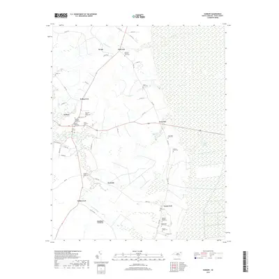
2019 Map of Sunbury
USGS Topo · Published 2019About this map
The eastern edge of the Great Dismal Swamp dominates this Gates County landscape, where the vast wetlands meet the agricultural crossroads of Sunbury. This intersection of forest and field is defined by several distinct family settlements and small hamlets like Acorn Hill and Folly Fork. The map reveals a dense concentration of lineage history, specifically through numerous family burial grounds such as the Rudolphus Stallings Family Cem and the George Costen Family Cem.
Find a feature on this map
59 named features on this map. Tap any name to fly to it.
Don’t see what you’re looking for? This feature index may not catch every label — zoom into the map to look around manually.
Map Details
Editions of this 2019 Sunbury Map
This is the sole edition of this map. No revisions or reprints were ever made.
Other maps of this area

1906 · Beckford
USGS Topo · 1:48,000

1907 · Beckford
USGS Topo · 1:62,500

1919 · Suffolk
USGS Topo · 1:62,500

1940 · Beckford
USGS Topo · 1:62,500

1940 · Lake Drummond
USGS Topo · 1:62,500

1940 · South Mills
USGS Topo · 1:62,500

1945 · Lake Drummond
USGS Topo · 1:62,500

1952 · South Mills
USGS Topo · 1:62,500

1953 · Norfolk
USGS Topo · 1:250,000

1954 · Corapeake
USGS Topo · 1:24,000