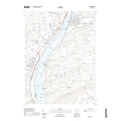
2019 Map of Sunbury
USGS Topo · Published 2019About this map
The Susquehanna River dominates this landscape at the confluence of the Shamokin Creek and Penns Creek. This 2019 survey captures the developed corridor between Sunbury and Selinsgrove, illustrating the density of regional infrastructure from the Northumberland County Courthouse to the Penn Valley Airport. A chain of river islands, including Byers Island, Cherry Island, and Fishers Island, highlights the complex hydrology of the riverbed south of the dam. On the eastern shore, the Norfolk Southern rail line follows the river's curve, passing through Selinsgrove Junction and Fishers Ferry. The map also details numerous local burial grounds such as Pomfret Manor Cem and Evergreen Cem, providing essential points of reference for genealogists tracking family history in these riverfront communities.
Find a feature on this map
209 named features on this map. Tap any name to fly to it.
Don’t see what you’re looking for? This feature index may not catch every label — zoom into the map to look around manually.
Map Details
Editions of this 2019 Sunbury Map
This is the sole edition of this map. No revisions or reprints were ever made.
Other maps of this area

1892 · Lykens
USGS Topo · 1:62,500

1892 · Shamokin
USGS Topo · 1:62,500

1893 · Sunbury
USGS Topo · 1:62,500

1893 · Lykens
USGS Topo · 1:62,500

1893 · Shamokin
USGS Topo · 1:62,500

1893 · Millersburg
USGS Topo · 1:62,500

1943 · Millersburg
USGS Topo · 1:62,500

1943 · Lykens
USGS Topo · 1:62,500

1943 · Shamokin
USGS Topo · 1:62,500

1943 · Sunbury
USGS Topo · 1:62,500