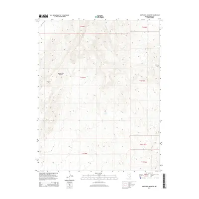
2015 Map of Sunflower Mountain
USGS Topo · Published 2015About this map
Sunflower Mtn and the surrounding Meadow Valley Mountains dominate this high-desert landscape in Lincoln County. This 2015 survey by the U.S. Geological Survey captures a remote corner of Nevada characterized by deep topographic relief and minimal human development. The primary artery through the northwestern corner is Kane Springs Rd, a dirt route tracing the edge of the range. Water sources are scarce in this arid terrain, with Willow Spring serving as a significant landmark for surveyors and travelers. The eastern portion of the map is defined by the steep descent into Hackberry Canyon, showcasing the intricate drainages and ridgelines of the Great Basin landscape.
Find a feature on this map
12 named features on this map. Tap any name to fly to it.
Don’t see what you’re looking for? This feature index may not catch every label — zoom into the map to look around manually.
Map Details
Editions of this 2015 Sunflower Mountain Map
This is the sole edition of this map. No revisions or reprints were ever made.
Other maps of this area

1885 · Pioche
USGS Topo · 1:250,000

1886 · Saint Thomas
USGS Topo · 1:250,000

1886 · Pioche
USGS Topo · 1:250,000

1893 · Saint Thomas
USGS Topo · 1:250,000

1954 · Caliente
USGS Topo · 1:250,000

1954 · Las Vegas
USGS Topo · 1:250,000

1957 · Las Vegas
USGS Topo · 1:250,000

1959 · Caliente
USGS Topo · 1:250,000

1959 · Las Vegas
USGS Topo · 1:250,000

1962 · Las Vegas
USGS Topo · 1:250,000