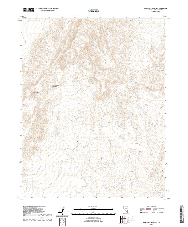
2021 Map of Sunflower Mountain
USGS Topo · Published 2021About this map
The Meadow Valley Mountains dominate this high-desert landscape in Lincoln County, Nevada. Centered on the distinctive peak of Sunflower Mtn, the terrain is defined by a complex network of ridges and deep drainage systems, including the notable Hackberry Canyon along the eastern edge of the quadrangle. This area remains largely undeveloped, preserving a wilderness character where life often centers on isolated water sources like Willow Spring. The map documents the intricate topography of the Basin and Range province, showing how the land is partitioned through the Public Land Survey System into various townships and ranges, including t10s r65e and t11s r66e. It serves as a vital record for understanding the natural geography of this isolated mountain range.
Find a feature on this map
11 named features on this map. Tap any name to fly to it.
Don’t see what you’re looking for? This feature index may not catch every label — zoom into the map to look around manually.
Map Details
Editions of this 2021 Sunflower Mountain Map
This is the sole edition of this map. No revisions or reprints were ever made.
Other maps of this area

1885 · Pioche
USGS Topo · 1:250,000

1886 · Saint Thomas
USGS Topo · 1:250,000

1886 · Pioche
USGS Topo · 1:250,000

1893 · Saint Thomas
USGS Topo · 1:250,000

1954 · Caliente
USGS Topo · 1:250,000

1954 · Las Vegas
USGS Topo · 1:250,000

1957 · Las Vegas
USGS Topo · 1:250,000

1959 · Caliente
USGS Topo · 1:250,000

1959 · Las Vegas
USGS Topo · 1:250,000

1962 · Las Vegas
USGS Topo · 1:250,000