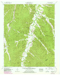
1952 Map of Sunrise
USGS Topo · Published 1980About this map
Swan Creek carves through this mid-century landscape of Hickman and Lewis counties, defining a territory of deep hollows and narrow ridges. The settlement at Sunrise and the nearby Aetna Brushy School anchor a rural community transitioning between traditional agriculture and modern infrastructure. Transport and industry are evident in the Jim McCord Highway and the Louisville and Nashville railroad line, while several Strip Mines and Quarries indicate the area's resource extraction history.
Find a feature on this map
83 named features on this map. Tap any name to fly to it.
Don’t see what you’re looking for? This feature index may not catch every label — zoom into the map to look around manually.
Map Details
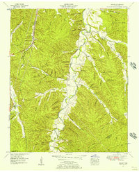
Editions of this 1952 Sunrise Map
2 editions found
Other maps of this area

1901 · Colombia
USGS Topo · 1:125,000

1936 · Mt Joy
USGS Topo · 1:24,000

1936 · Beaverdam Springs
USGS Topo · 1:24,000

1936 · Nunnelly
USGS Topo · 1:24,000

1936 · Whitfield
USGS Topo · 1:24,000

1936 · Sunrise
USGS Topo · 1:24,000

1936 · Littlelot
USGS Topo · 1:24,000

1936 · Greenfield Bend
USGS Topo · 1:24,000

1936 · Kimmins
USGS Topo · 1:24,000

1936 · Gordonsburg
USGS Topo · 1:24,000