
1948 Map of Superior
USGS Topo · Published 1953About this map
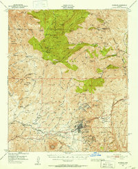
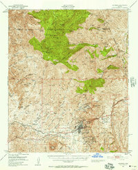
Superior's copper mining legacy is etched across this mid-century landscape, dominated by the massive operations of the Magma Copper Co and its surrounding infrastructure. The industrial footprint includes a smelter, tailings pond, and the Magma Arizona Railroad winding through the canyons to service the mineral wealth of the district. Beyond the town, the terrain is dotted with legendary prospects and workings like the Silver King Mine, Fortuna Mine, and the Belmont Mine near Silverado Ridge.
Find a feature on this map
120 named features on this map. Tap any name to fly to it.
Don’t see what you’re looking for? This feature index may not catch every label — zoom into the map to look around manually.
Map Details
Editions of this 1948 Superior Map
3 editions found
Other maps of this area

1900 · Florence
USGS Topo · 1:125,000

1901 · Globe
USGS Topo · 1:62,500

1902 · Globe
USGS Topo · 1:62,500

1902 · Florence
USGS Topo · 1:125,000

1907 · Roosevelt
USGS Topo · 1:125,000

1909 · Four Peaks
USGS Topo · 1:125,000

1910 · Ray
USGS Topo · 1:62,500

1912 · Roosevelt
USGS Topo · 1:125,000

1922 · Chrysotile
USGS Topo · 1:125,000

1945 · Inspiration
USGS Topo · 1:24,000